


Kronstadt is a small city with a complex and amazing fate, located northwest of St. Petersburg on Kotlin Island in the Gulf of Finland, 27 km from the mouth of the Neva.
SIGHTS OF KRONSTADT. BASIC INFORMATION ABOUT THE CITY.


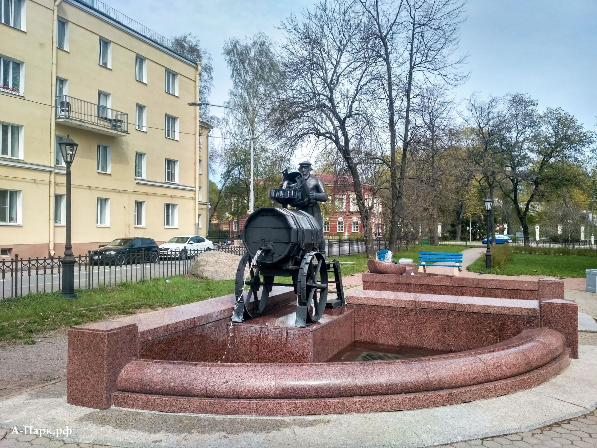
Kronstadt is remarkable not only for its hydraulic engineering and defensive structures, beautiful ensembles of historical buildings and a ring of dilapidated forts, but also for its nature.
MAP OF KRONSTADT WITH ATTRACTIONS

About 43,000 people live in modern Kronstadt, but looking at its quiet streets, it seems much less. The city is included in UNESC World Heritage ListABOUT
as an integral part of the historical center of St. Petersburg, although it cannot boast of the gloss of its older brother.
BRIEF HISTORY OF KRONSTADT

Since 1323, according to the Orekhovsky Peace Treaty, Kotlin Island, on which modern Kronstadt is located, served as a border island between Russia and Sweden and was deserted. Later, in 1617, according to the Stolbovo Peace Treaty, the island went to the Swedes, who gained control over access to the Baltic Sea.

In 1723, a new central fortress was founded on Kotlin Island - Kronstadt, which included the city and port facilities. In fact, the city on the island was also called Kronstadt, which literally means “fortress city.” The location of Kronstadt and the forts that subsequently surrounded it turned out to be so successful that in the entire subsequent history not a single enemy ship passed into the Neva Bay, and there were many attempts.

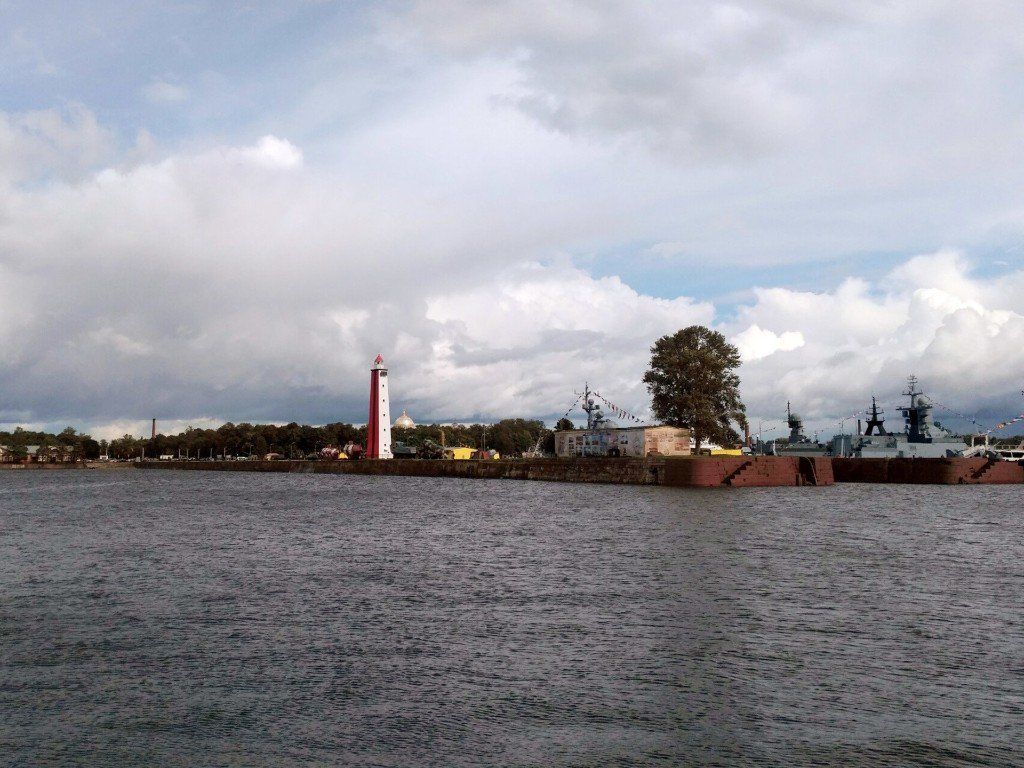
Many types of naval weapons and equipment were honed at the Kronstadt roadstead. In particular, at the Kronstadt roadstead, bottom and floating minefields were tested for the first time in the world according to the system of the Russian academician B.S. Jacobi, who stopped the Anglo-French squadron in 1854, and the inventor A.S. In 1895, Popov conducted the first long-distance communication session between warships.

During the Great Patriotic War, Kronstadt covered Leningrad from the sea, although it itself was under siege. Despite severe damage from bombing and shelling, a repair base for Baltic Fleet ships and a submarine base continued to operate in Kronstadt. Thanks to the artillery of Kronstadt, the Nazis were unable to capture the Oranienbaum patch, which played an important role in the defense of Leningrad. The “Little Road of Life” operated along the ice of the Gulf of Finland, connecting Kronstadt with Oranienbaum and Lisim Nos.

For a leisurely acquaintance with Kronstadt, one day is enough; during this time, the central part of the island can be walked up and down, including visiting a few museums.
Next to the dam of the Ring Road there is the most ennobled fort of Kronstadt - fort
"Grand Duke Constantine."
There is a rope park, a museum, a restaurant, and even a small floating hotel. The Kronstadt Yacht Club is located on Fort Constantine, and private boats depart from here for sightseeing cruises to the surrounding forts and lighthouses. Fort Constantine can be reached by car or taxi. If you use public transport, then from the nearest
city bus stops
from Kronstadt to the fort you will have to walk another 3 km.
MAIN ATTRACTIONS OF KRONSTADT.
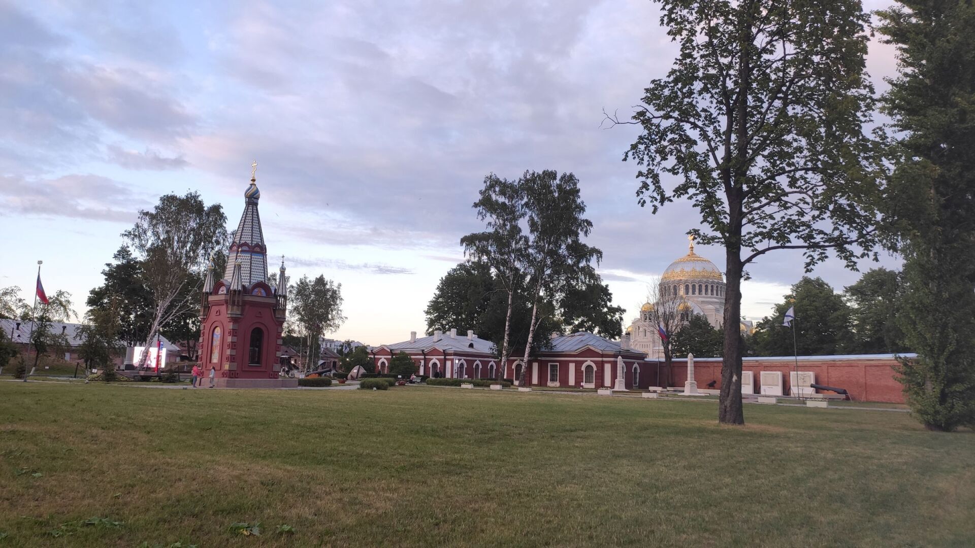
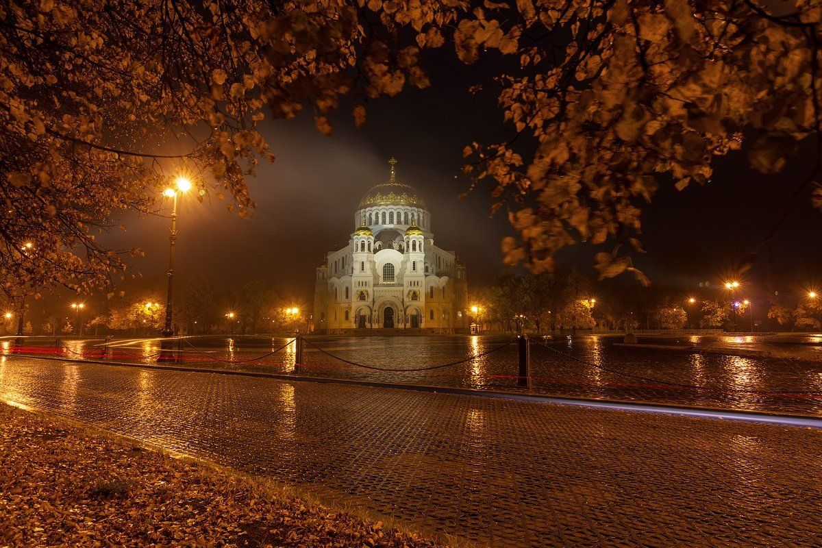
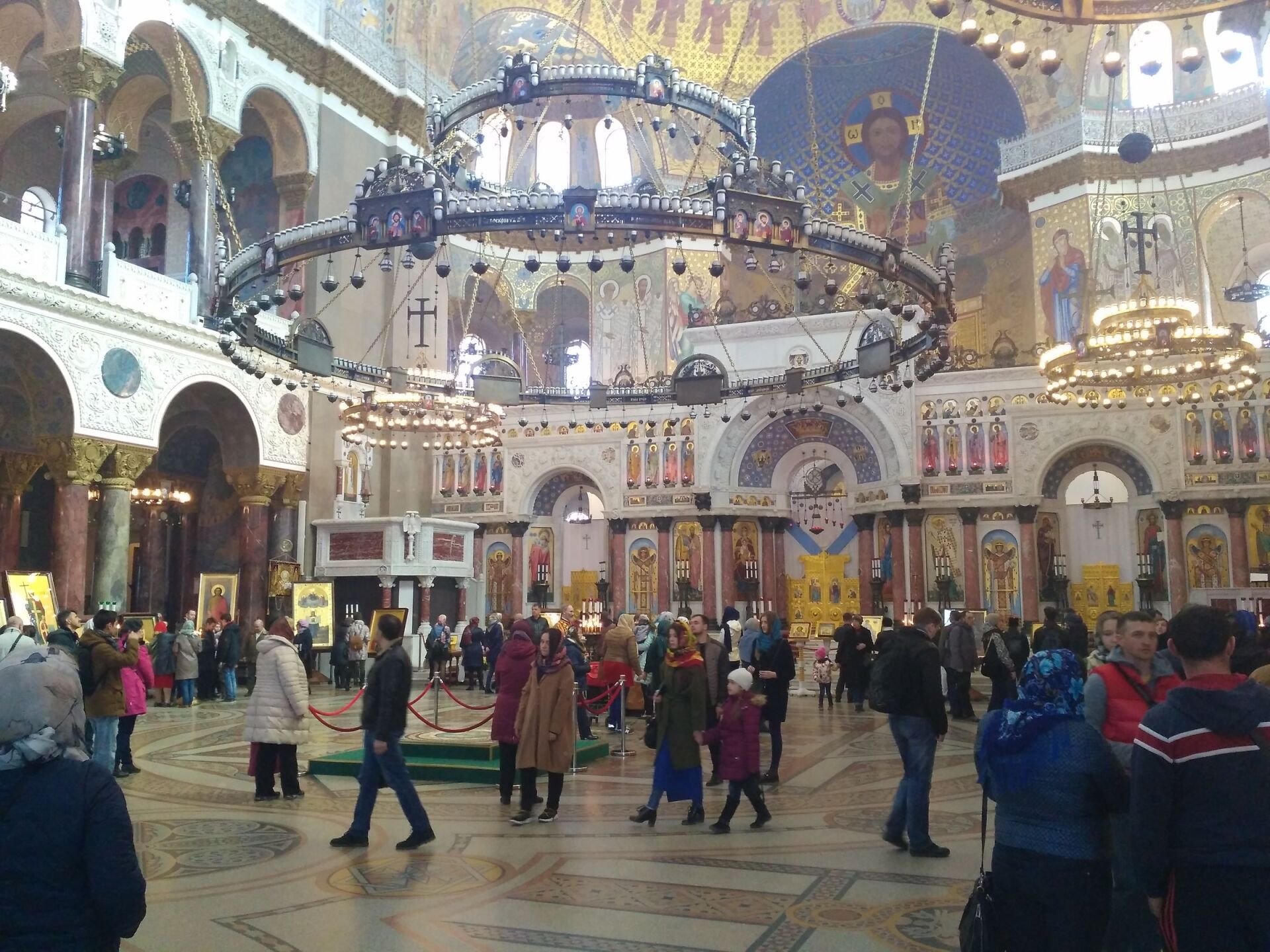
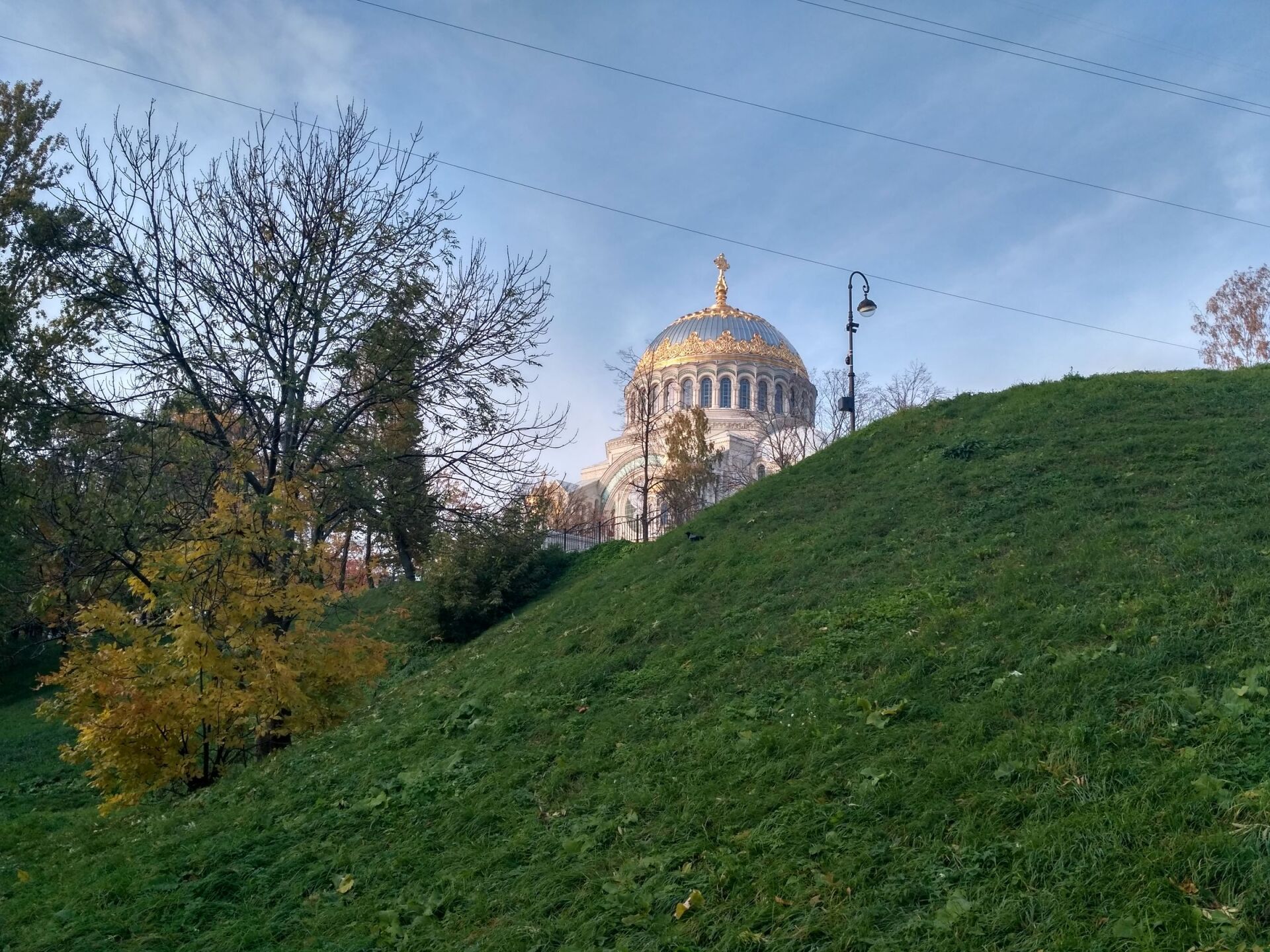
NIKOLAEVSKY NAVAL CATHEDRAL

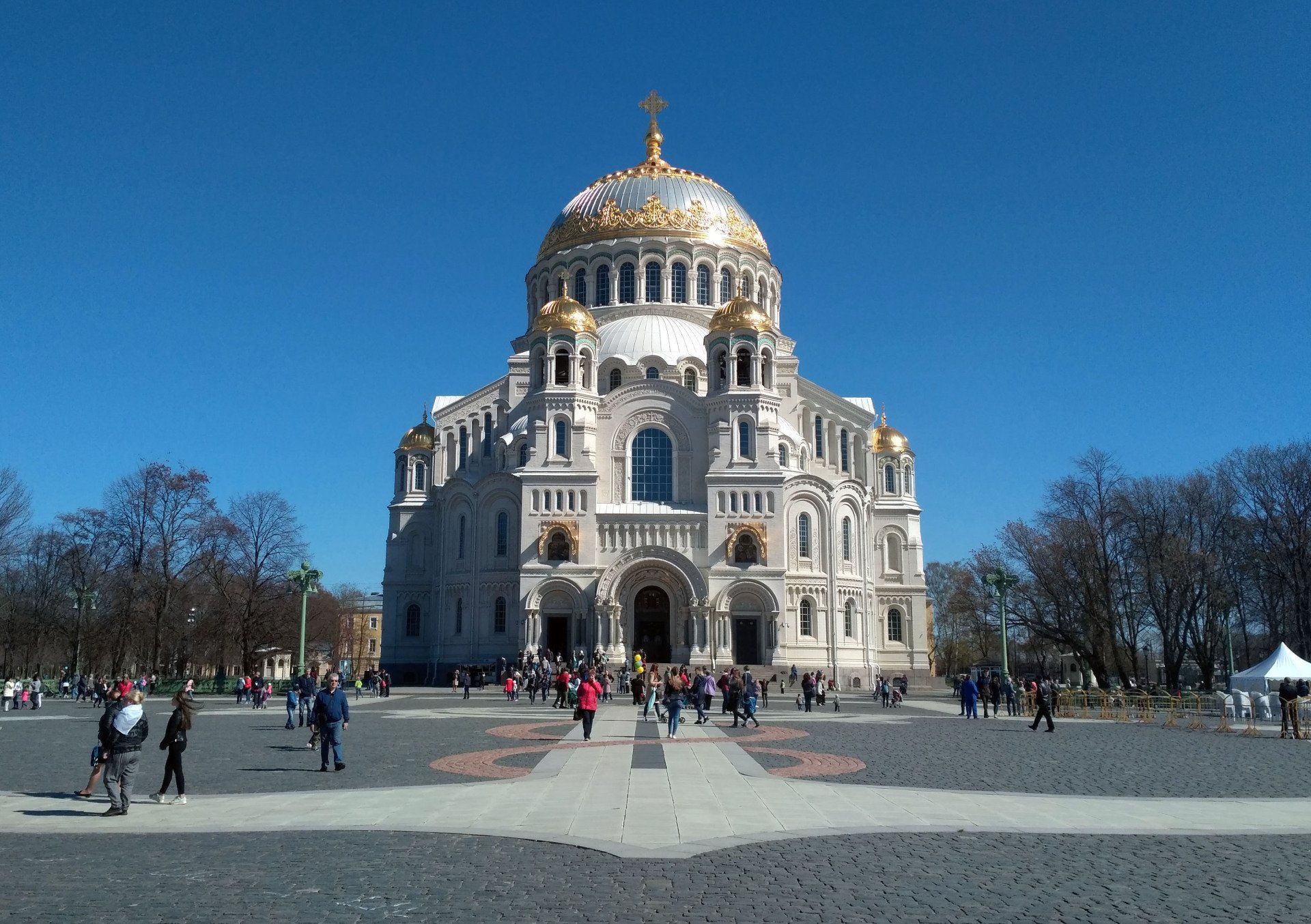
The Naval Cathedral is the main attraction of Kronstadt. It was built in 1901 - 1913. designed by architect Vasily Kosyakov. The architecture of the cathedral is reminiscent of St. Sophia Cathedral in Istanbul. It amazes with its splendor and brilliance, being the largest naval cathedral in Russia. The Naval St. Nicholas Cathedral is the high-altitude dominant of Kronstadt (its height exceeds 70 meters); in clear weather, its domes are clearly visible from any point of the Neva Fairway and the shore of the Gulf of Finland.
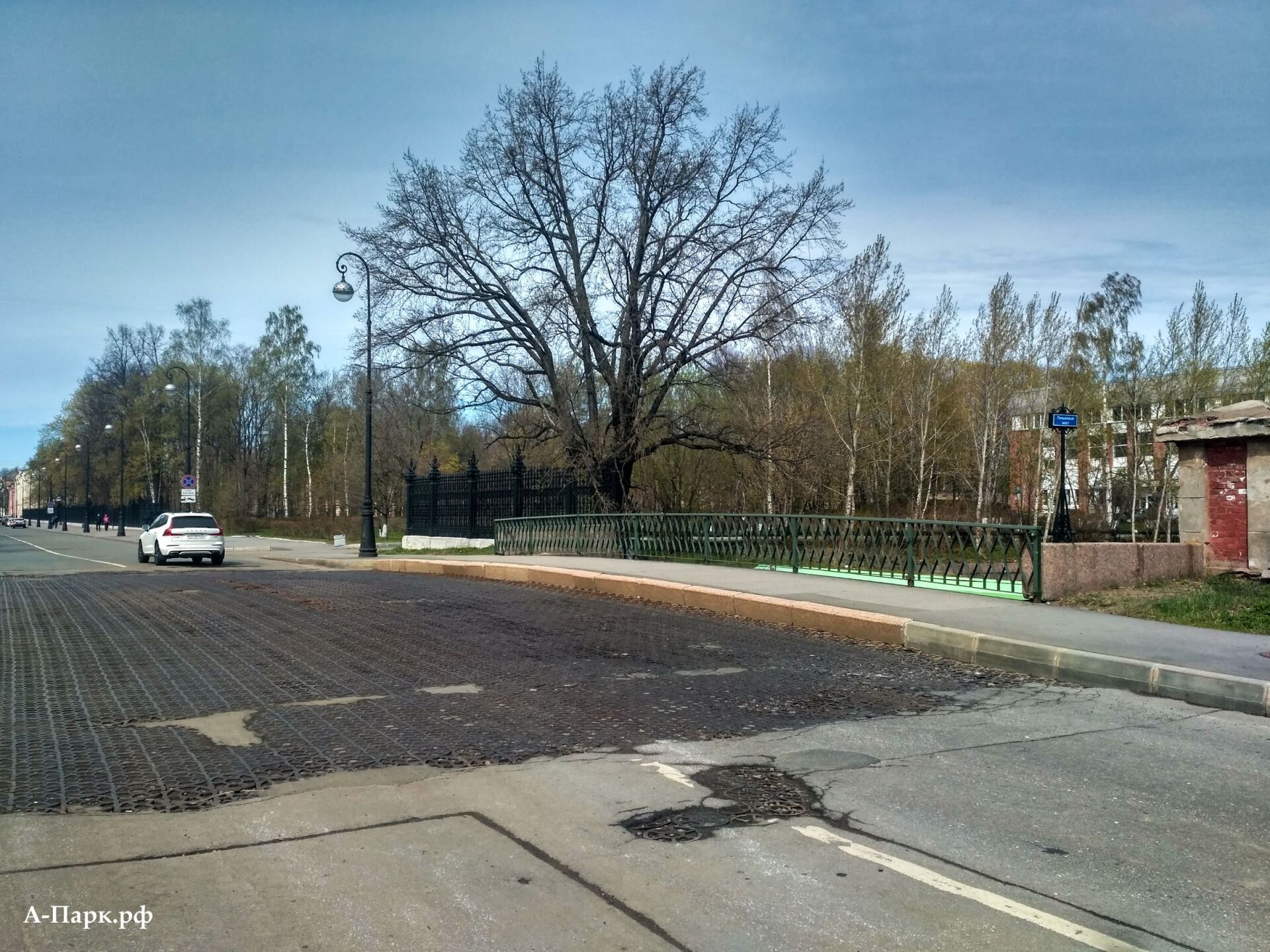
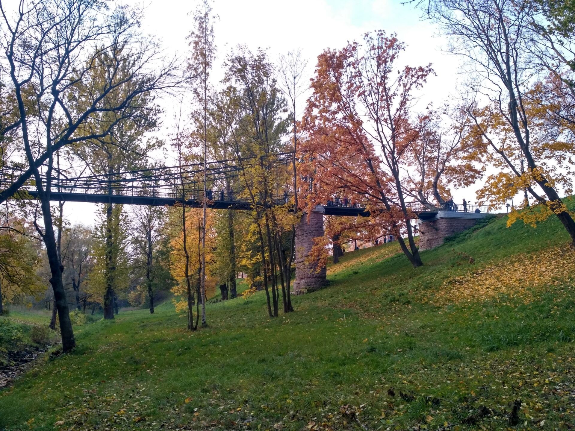
MAKAROVSKY BRIDGE

The suspended pedestrian bridge Makarovsky connects the two banks of the Petrovsky ravine, which served to drain the Petrovsky dock. The bridge was named in honor of Admiral Makarov.
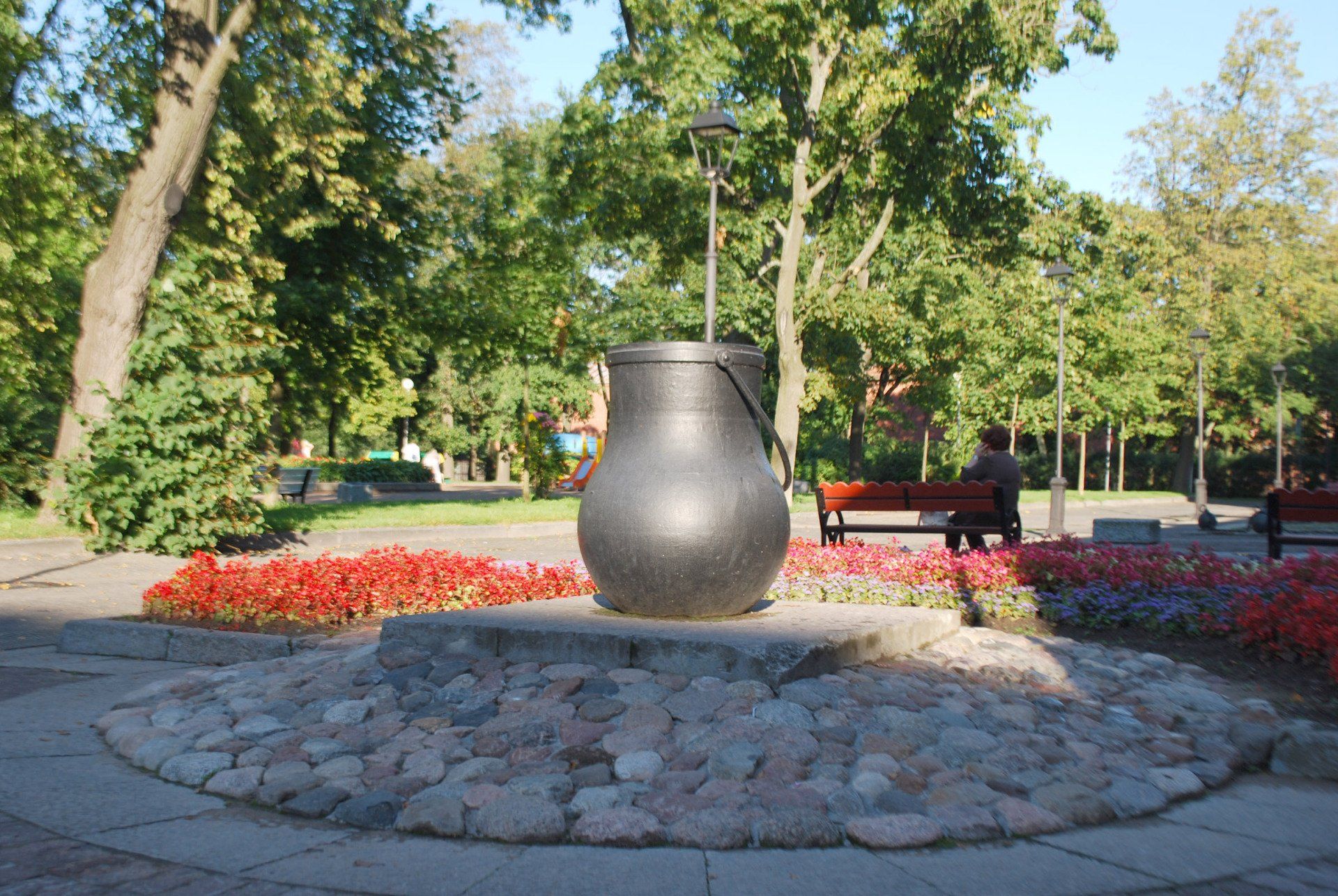
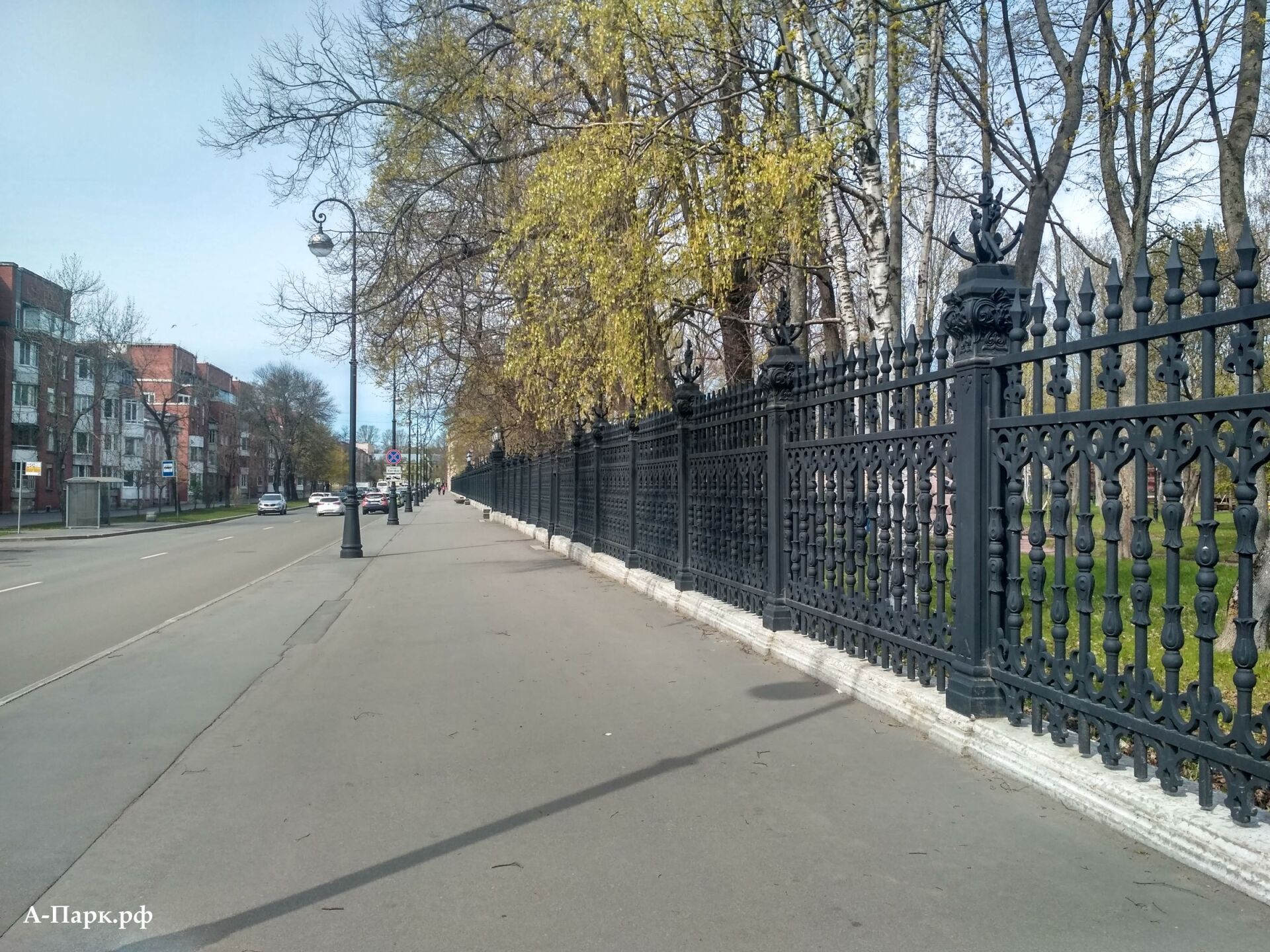
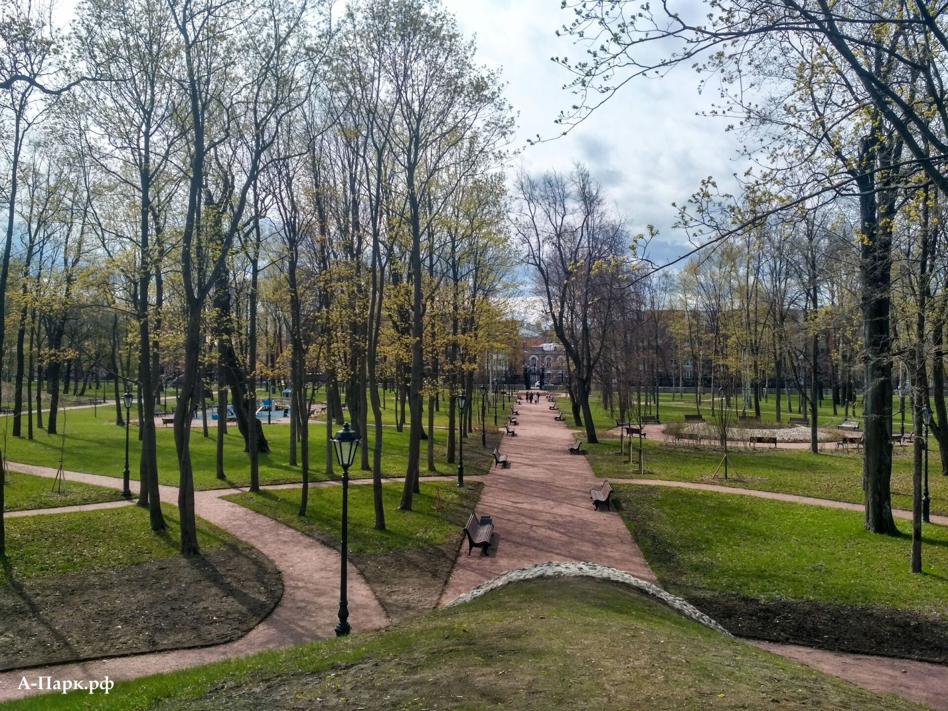
SUMMER GARDEN
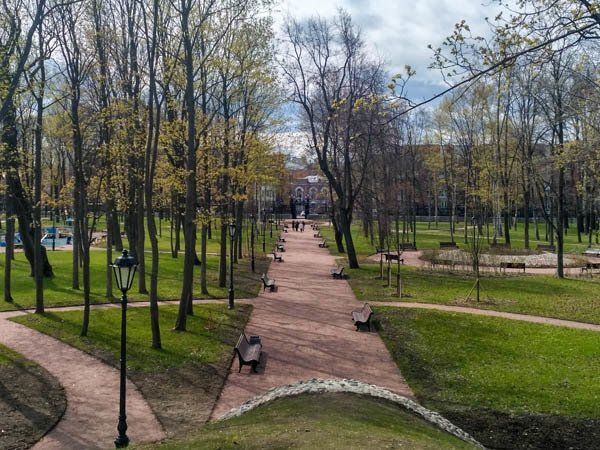
The Summer Garden is the oldest public place in Kronstadt.
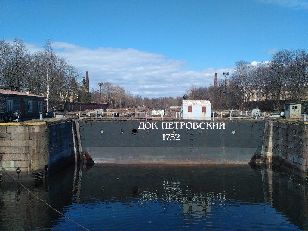
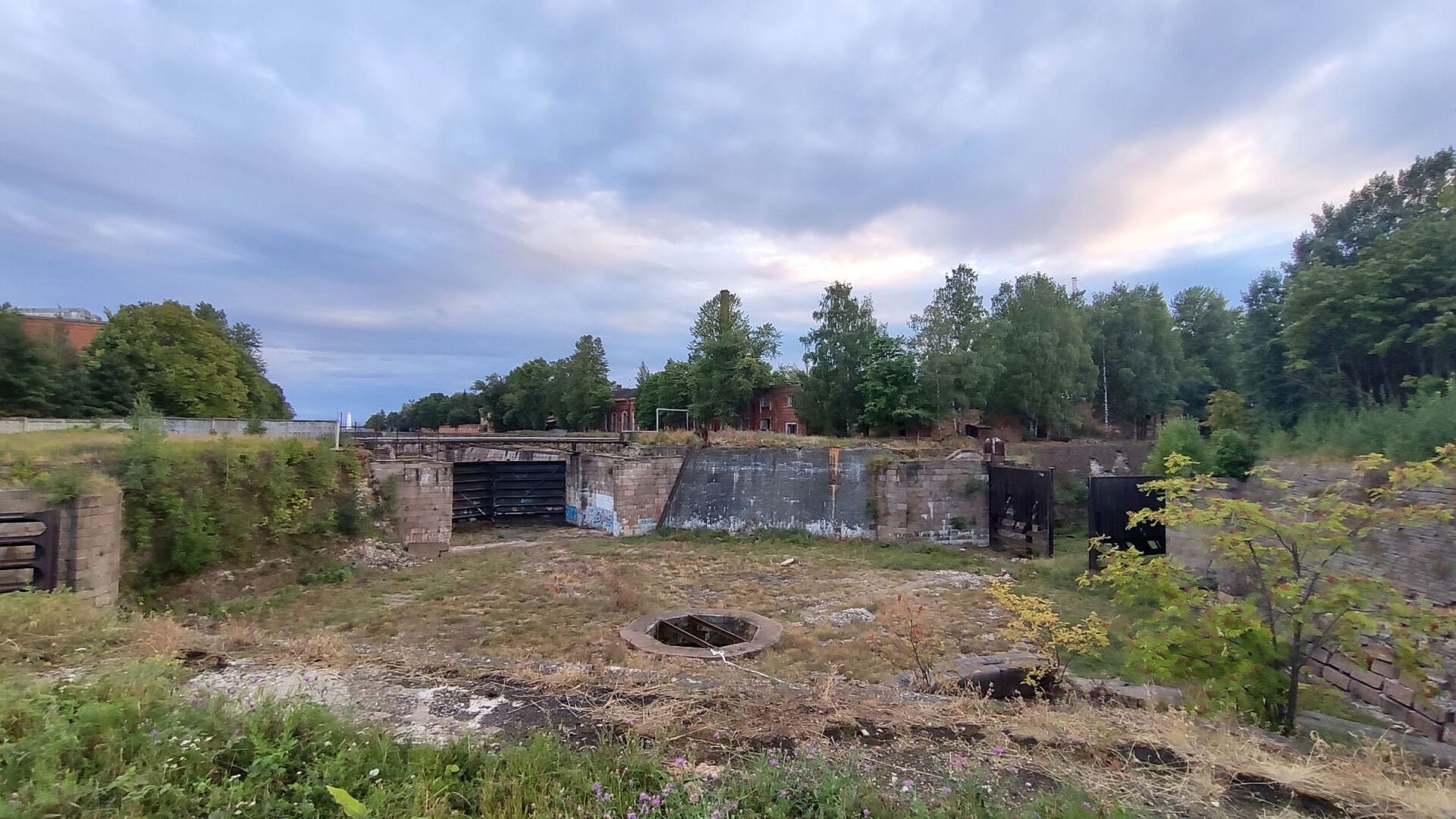
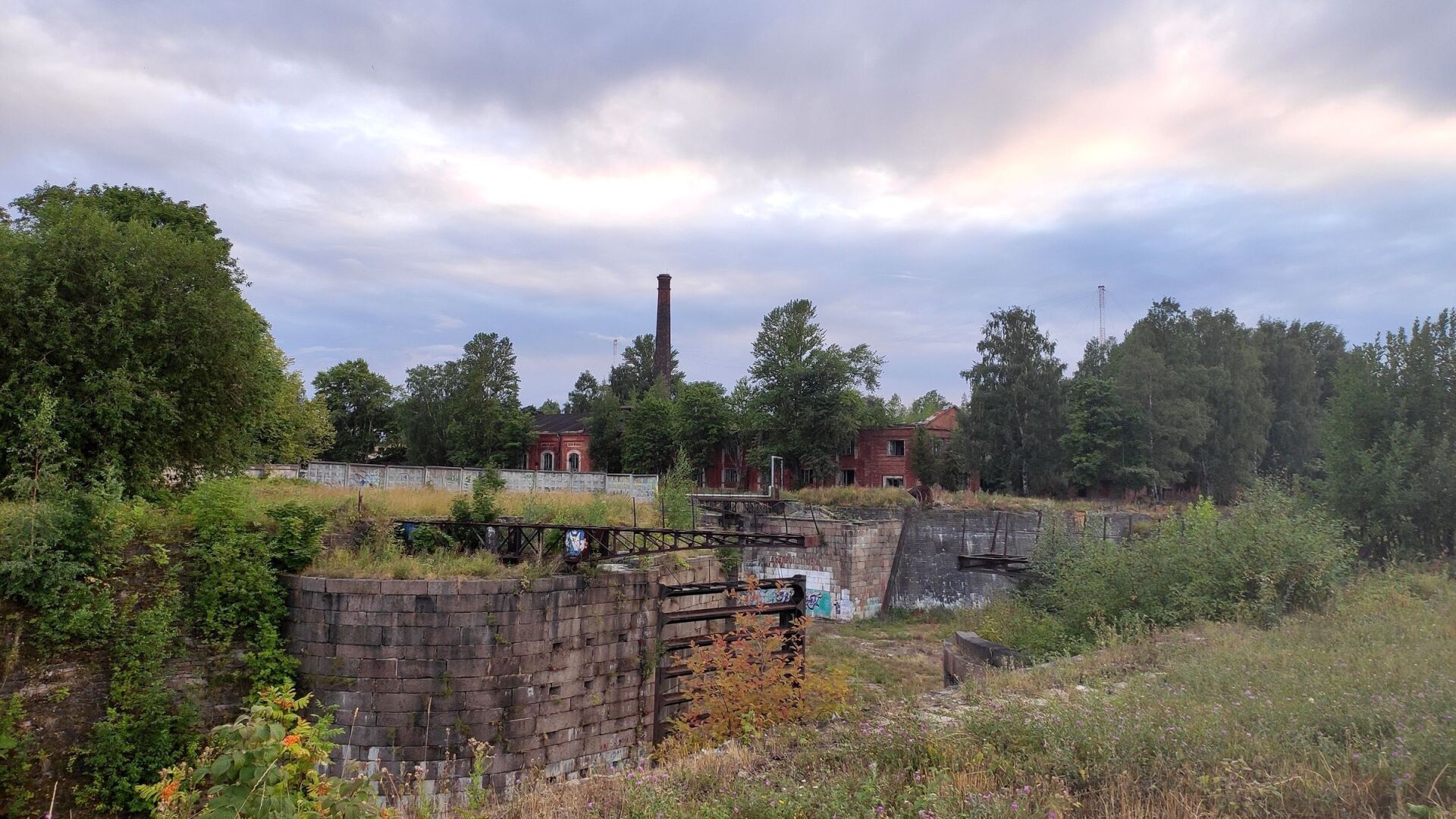
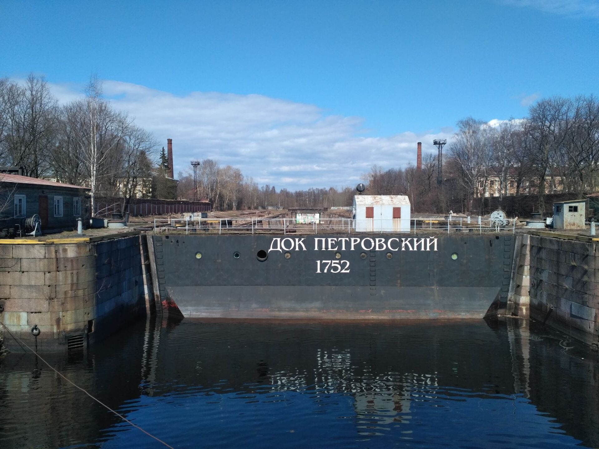
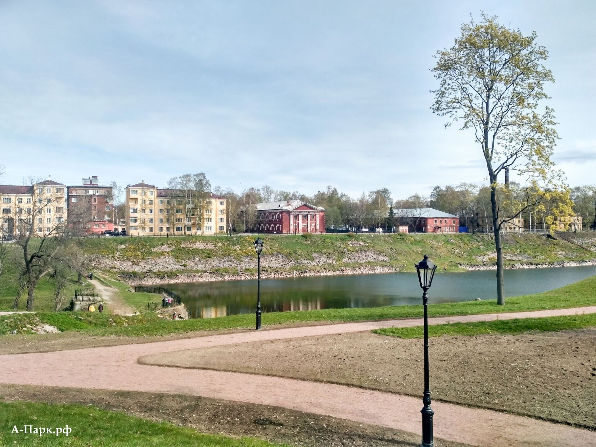
PETROVSKY DOCK

Petrovsky Dock is a unique hydraulic system of canals connected to each other, lined with granite. Construction of the dock began in 1719. Construction was planned to be completed by the spring of 1721, but the work was delayed.
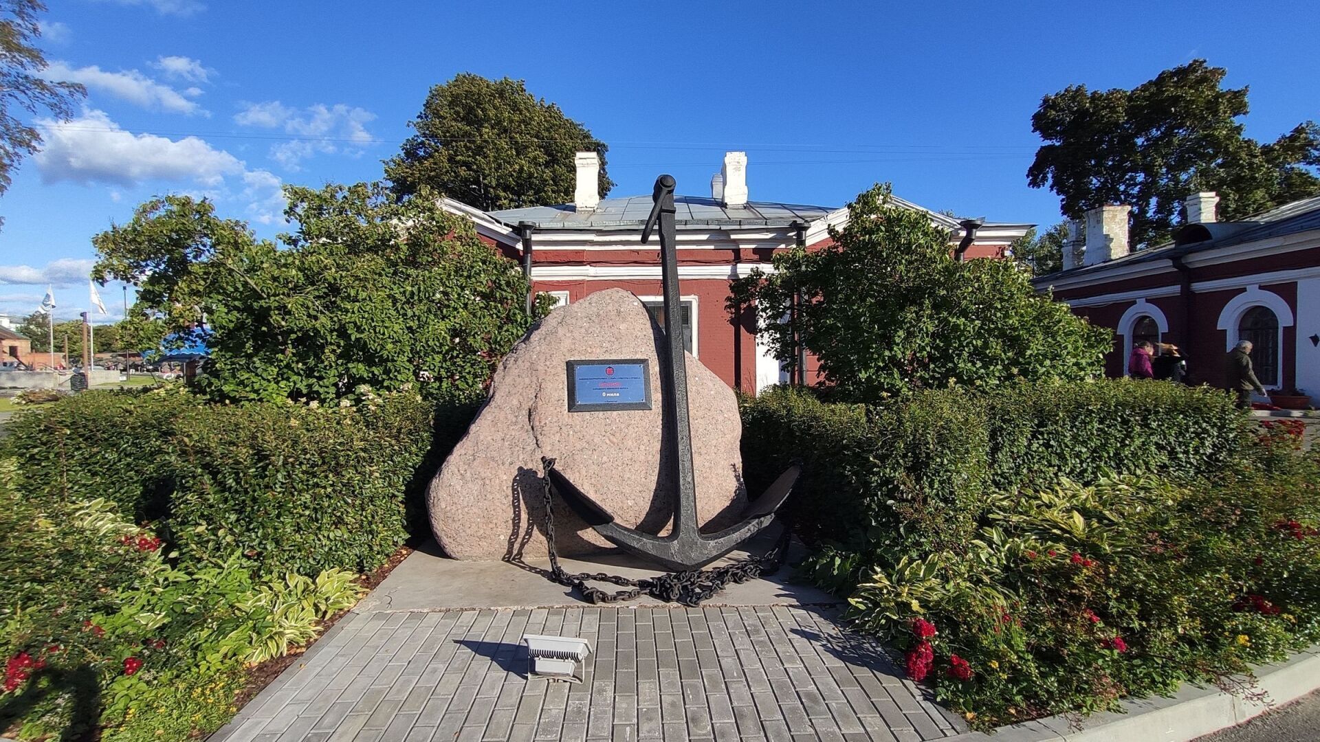
KRONSTAAD FOOTSTAND

In 1840, at the suggestion of hydrographer M.F. Reineke drew a line on the stone abutment of the Blue Bridge across the Kronstadt Obvodny Canal that corresponded to the average water level of the Gulf of Finland according to observations from 1825-1839. Observations of fluctuations in the level of the Baltic Sea began in 1703, and since 1707 a foot-staff service has been operating in Kronstadt. The zero of the Kronstadt water rod is combined with this line, from which the absolute heights of the Earth's surface, all sea depths on navigation and topographic maps, and cosmic altitudes are calculated. Since 1898, in a special pavilion with a well near the blue bridge, an automatic self-recording tide gauge device has been operating, recording changes in water levels.
MONUMENT TO PETER I IN PETER'S GARDEN

The monument was cast according to the model of the Frenchman Theodore Jacques by the Russian sculptor Pyotr Klodt and opened on June 27, 1841. Here Peter I is depicted in full height for the first time. Previously, only busts or equestrian statues of Peter were made - otherwise portrait likeness could not be achieved: the tsar was too thin and thin-legged. To make the emperor the embodiment of power, with the permission of Nicholas I, the figure of Peter was slightly distorted: the stoop disappeared, and the body and legs became much fuller.
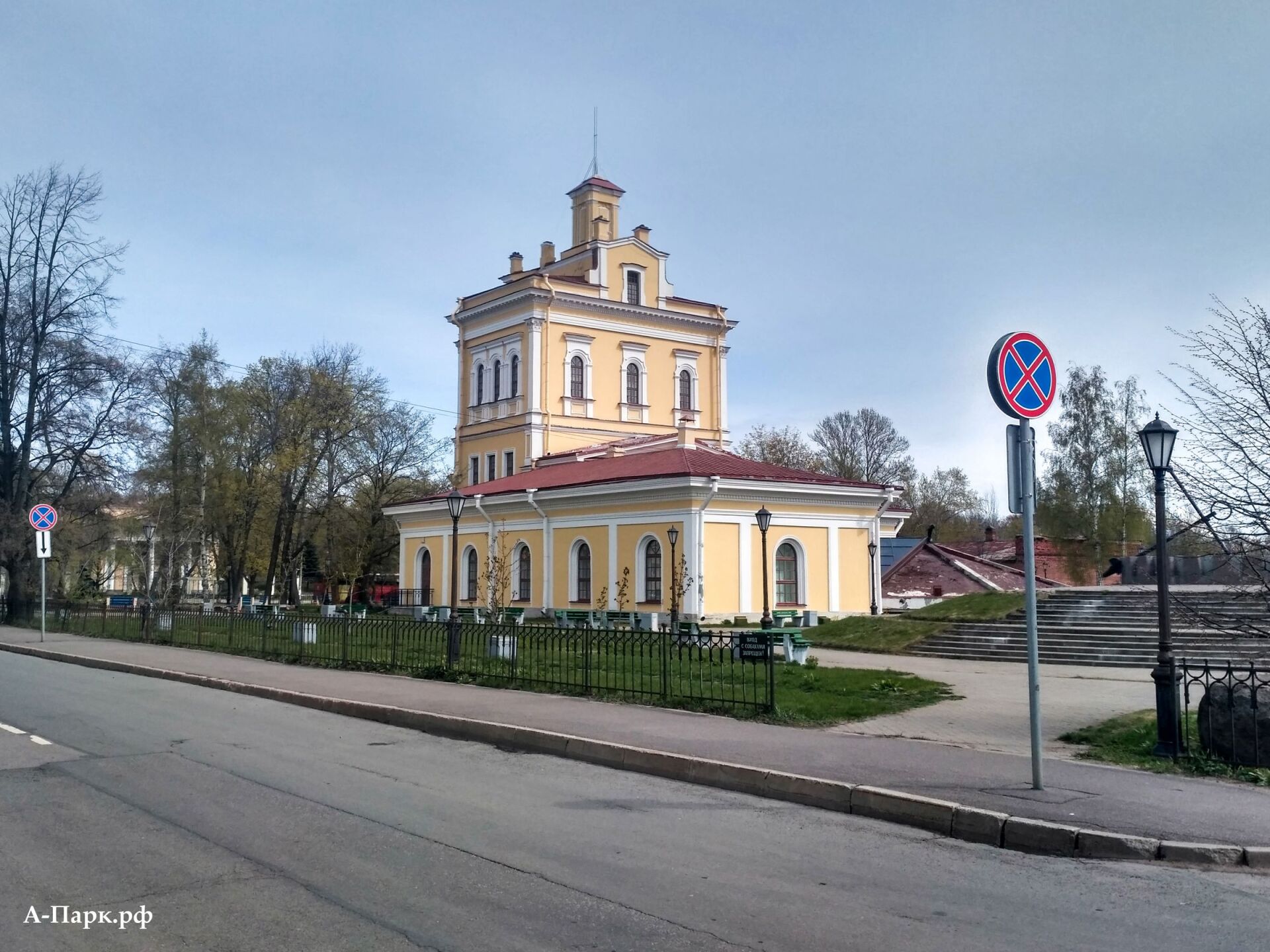
MUSEUM OF THE HISTORY OF KRONSTADT

The Museum of the History of Kronstadt is located in two buildings - on Yakornaya Square, 2A, and in the building of the old water tower on Leningradskaya Street, 2.
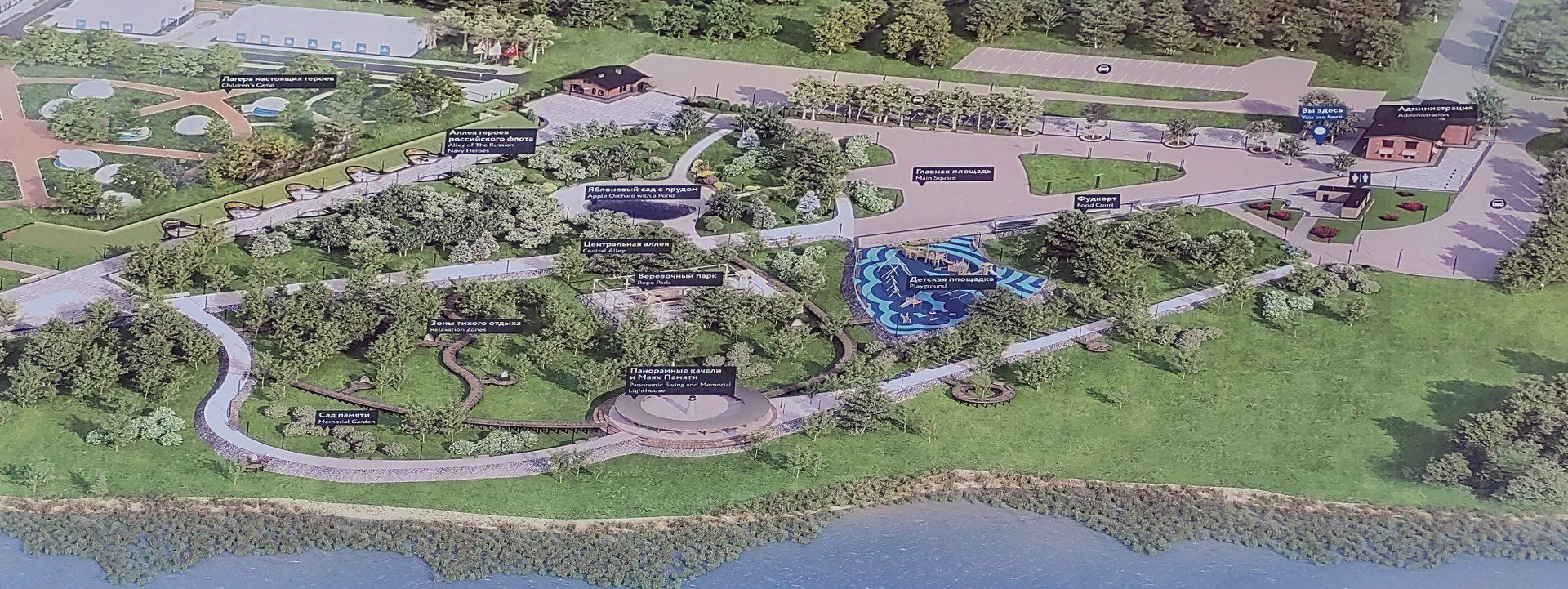
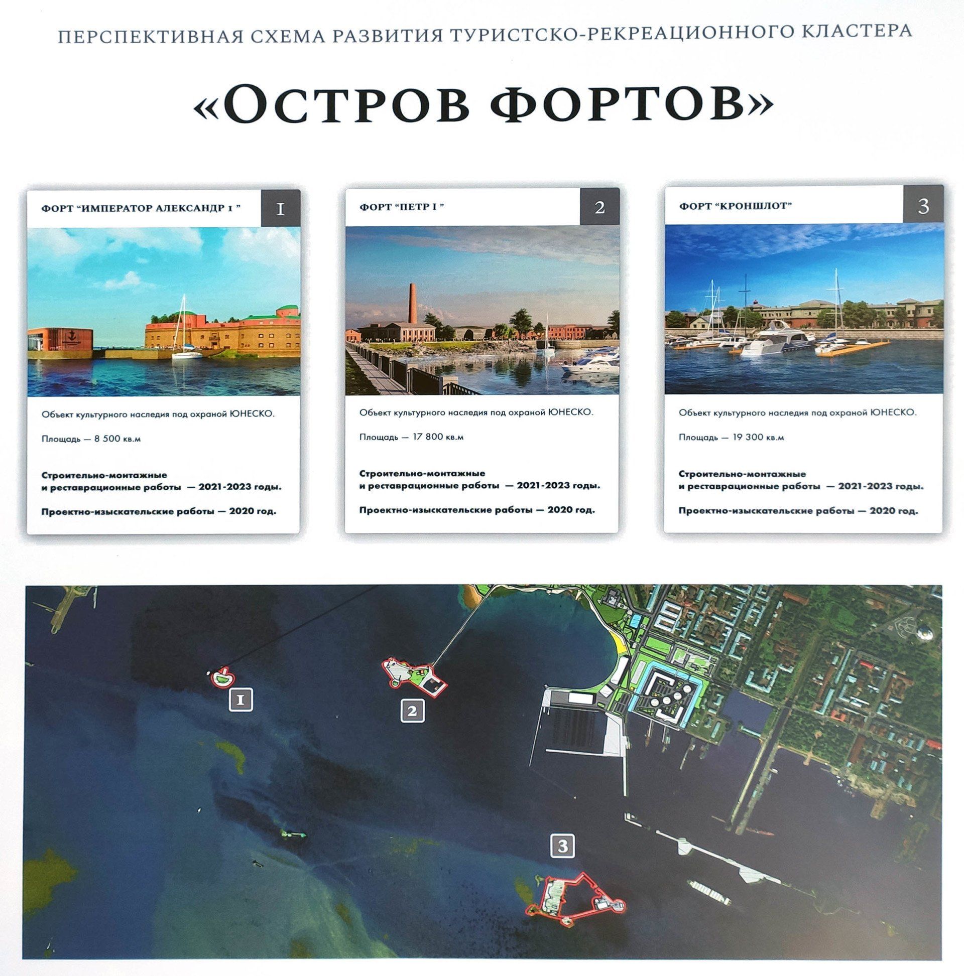
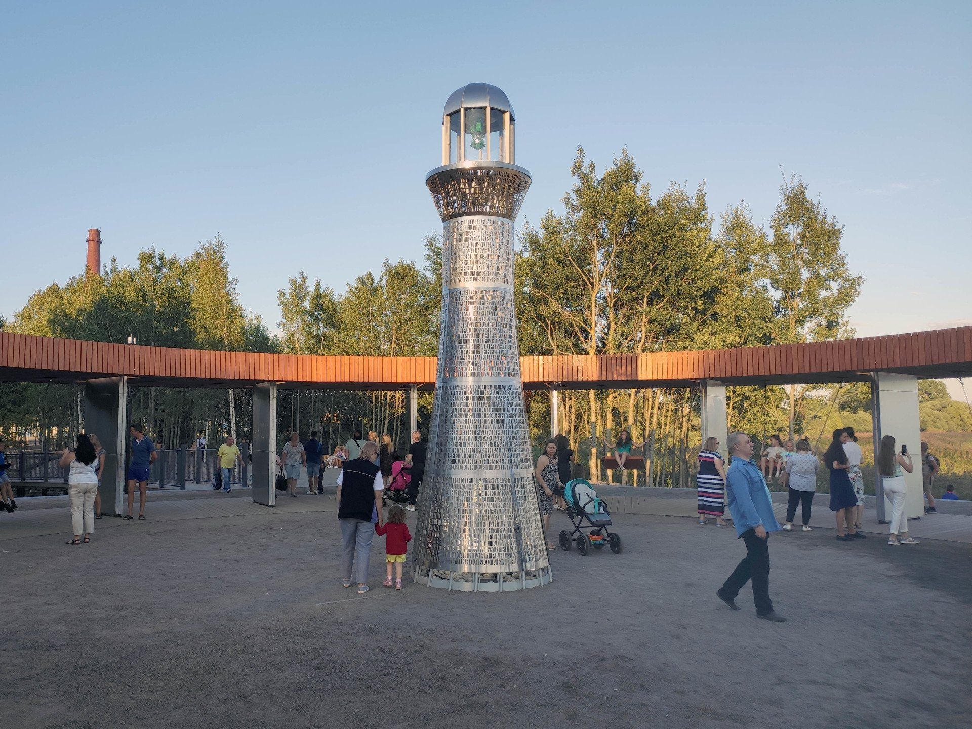
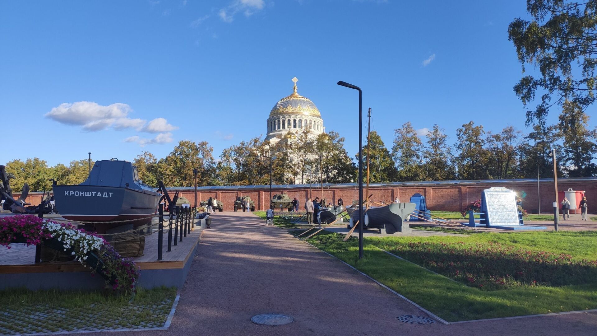
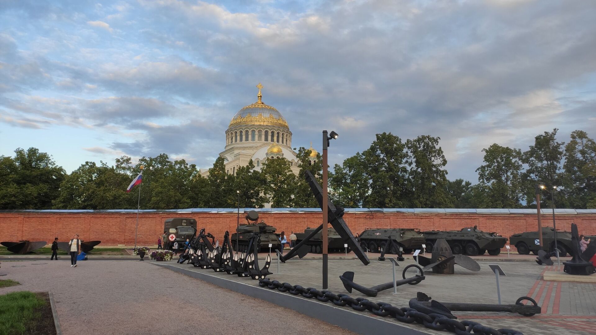
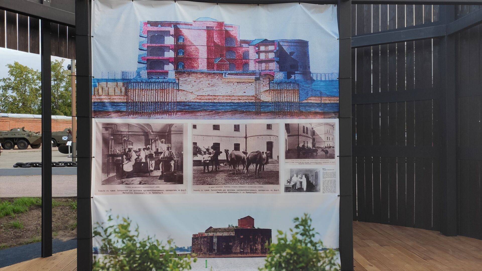
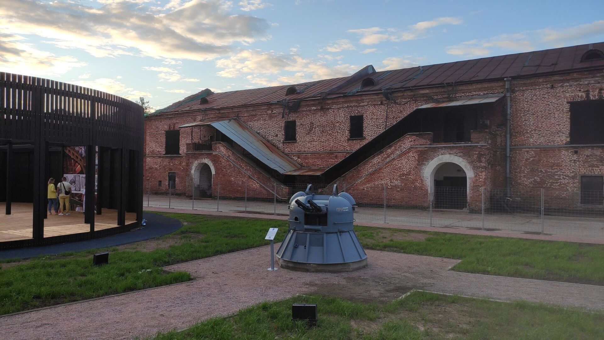
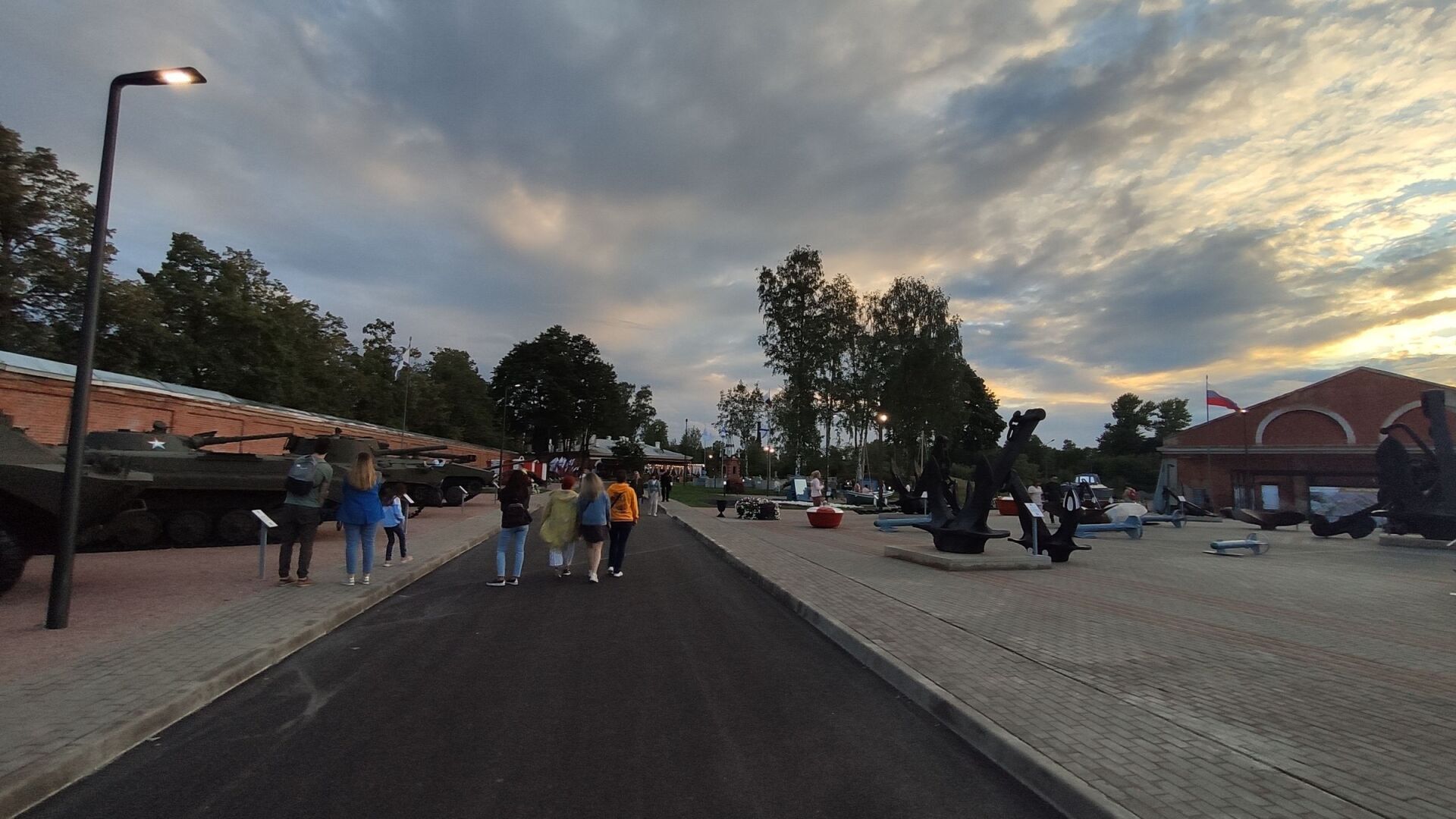
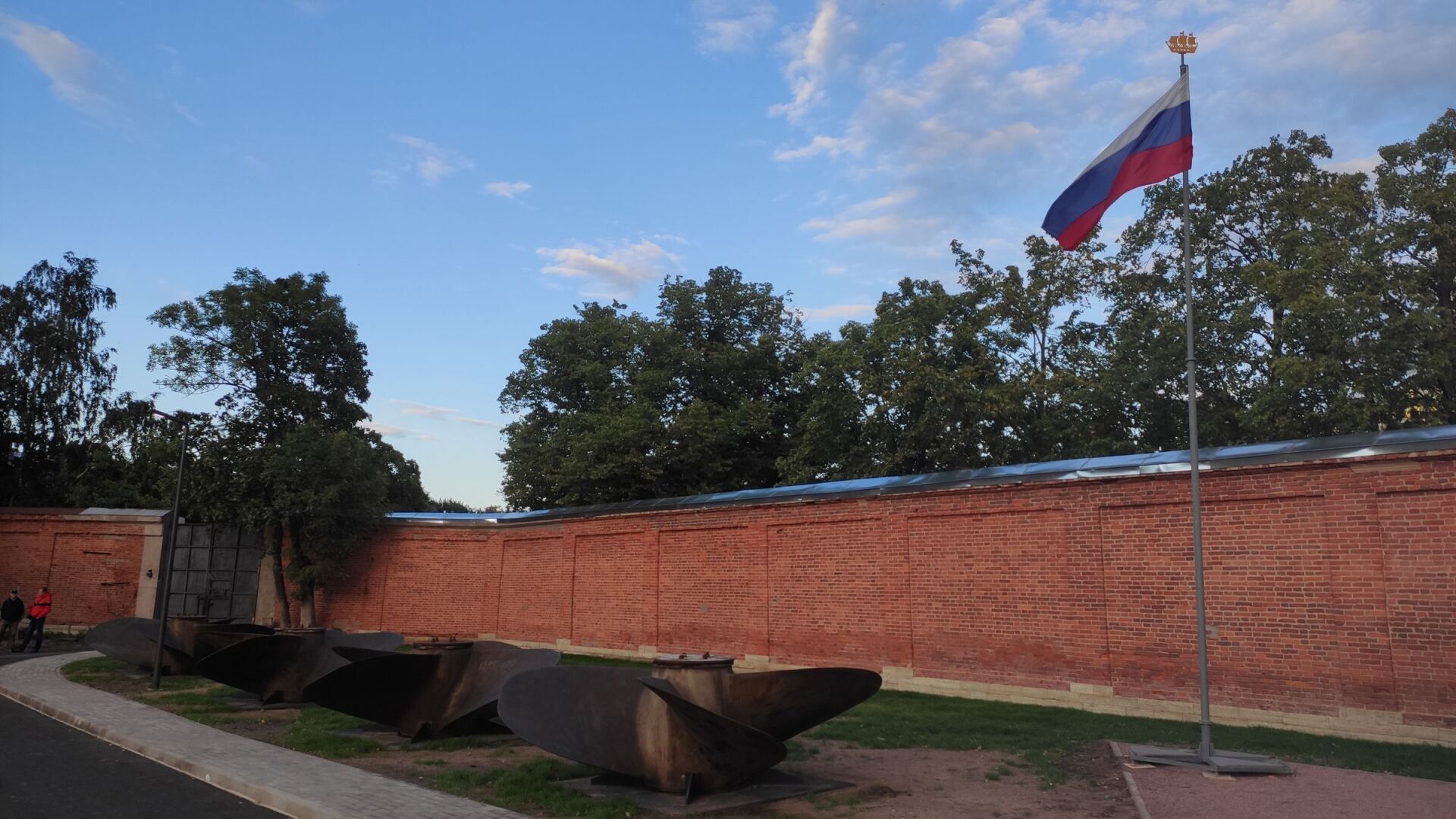
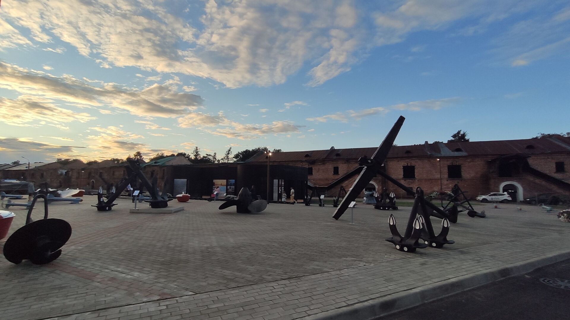
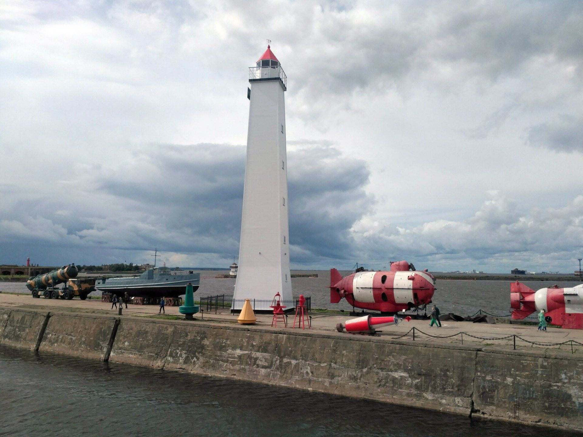
MUSEUM AND HISTORICAL PARK "ISLAND OF FORTS"
View more
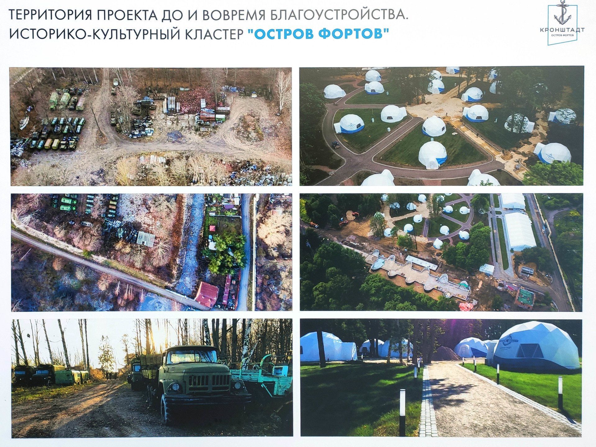
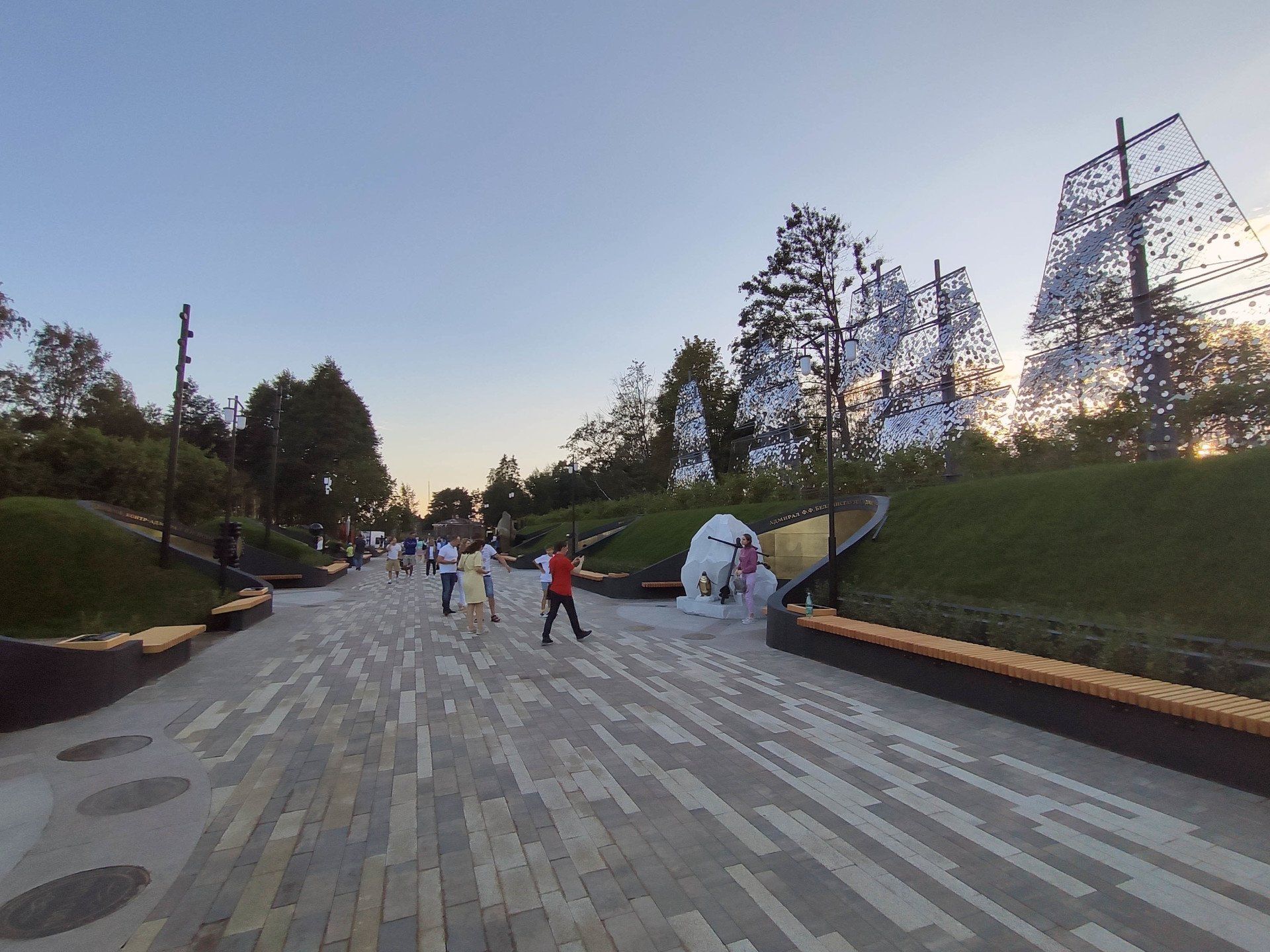
On August 8, 2020, a new Historical Park opened in Kronstadt "Island of Forts".
Since its opening, it has already become a center of attraction for residents of Kronstadt and numerous tourists, especially
for families with children, for which a large marine-themed children's playground and a rope playground were built.
For a relaxing holiday, the park has walking areas, an apple orchard, places for sports, a panoramic swing, which offers views of the park and the Gulf of Finland, as well as the obligatory food court in the park.
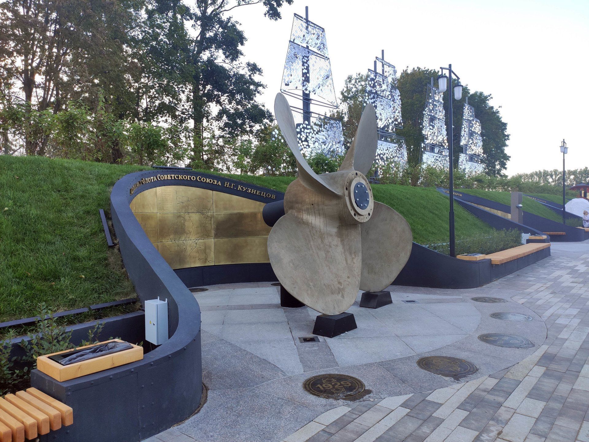
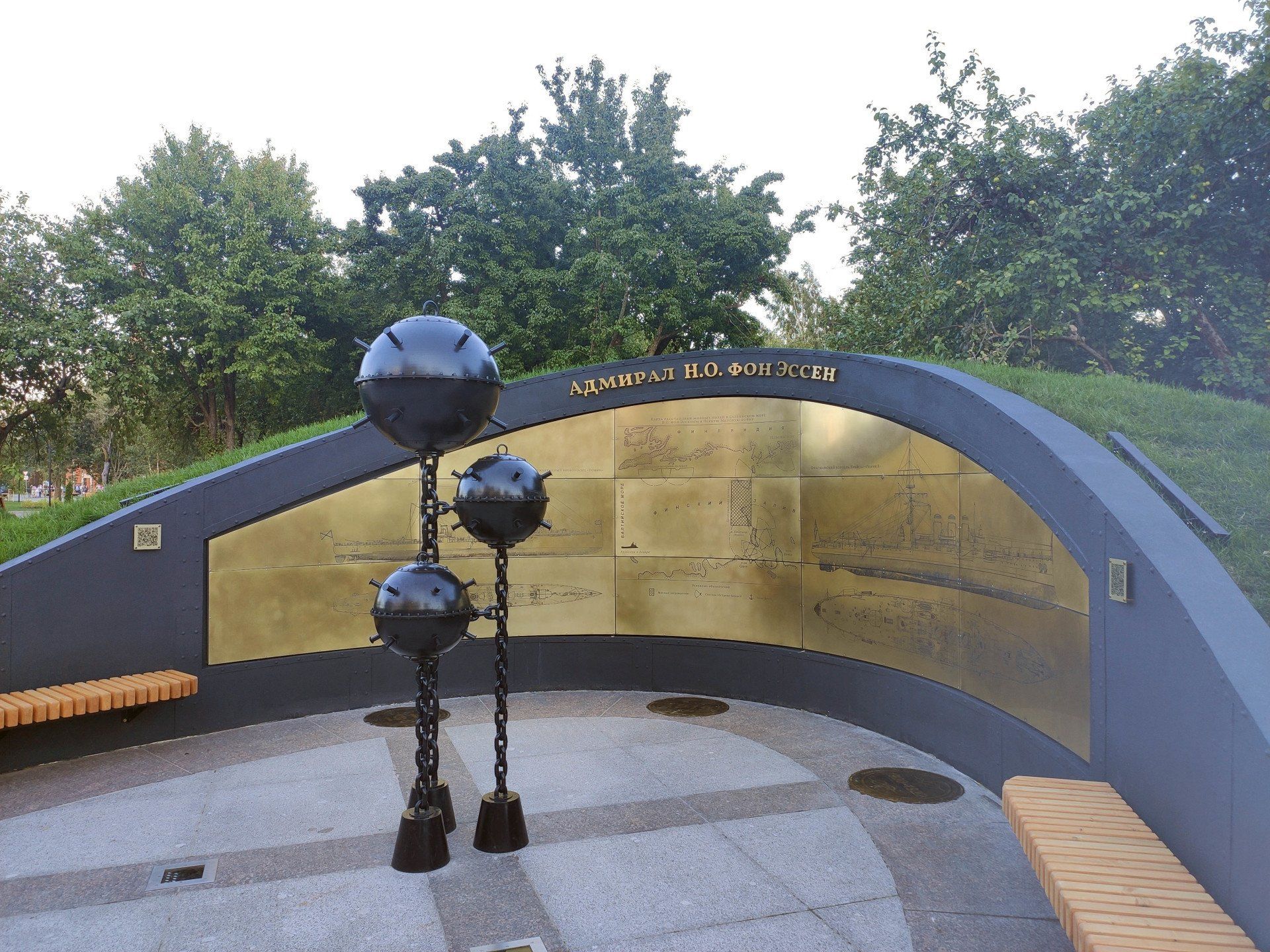
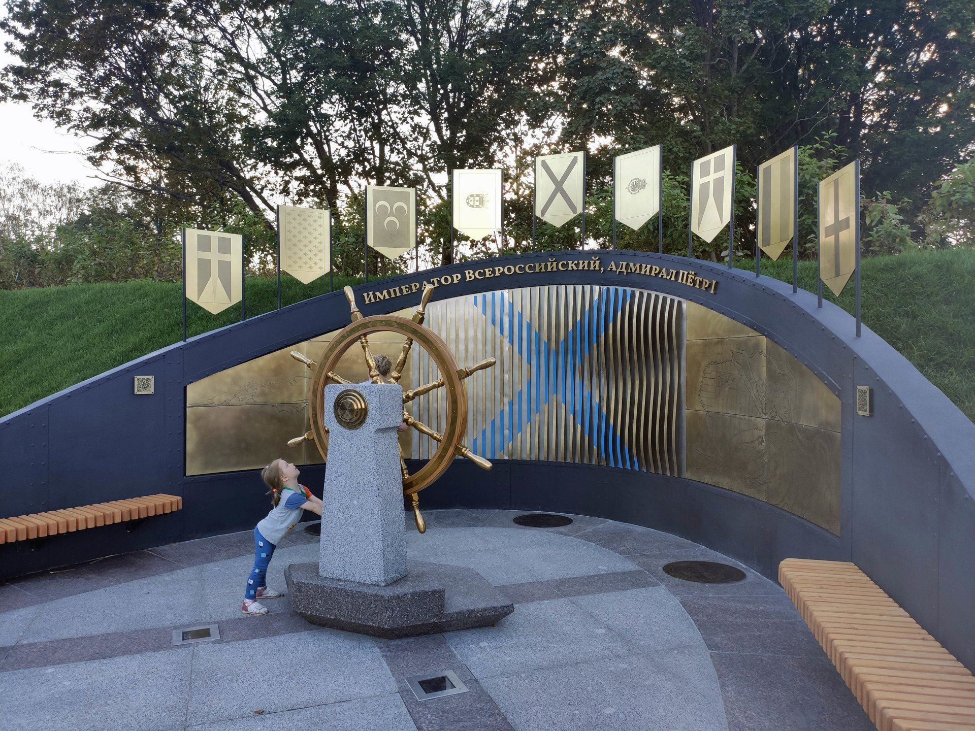
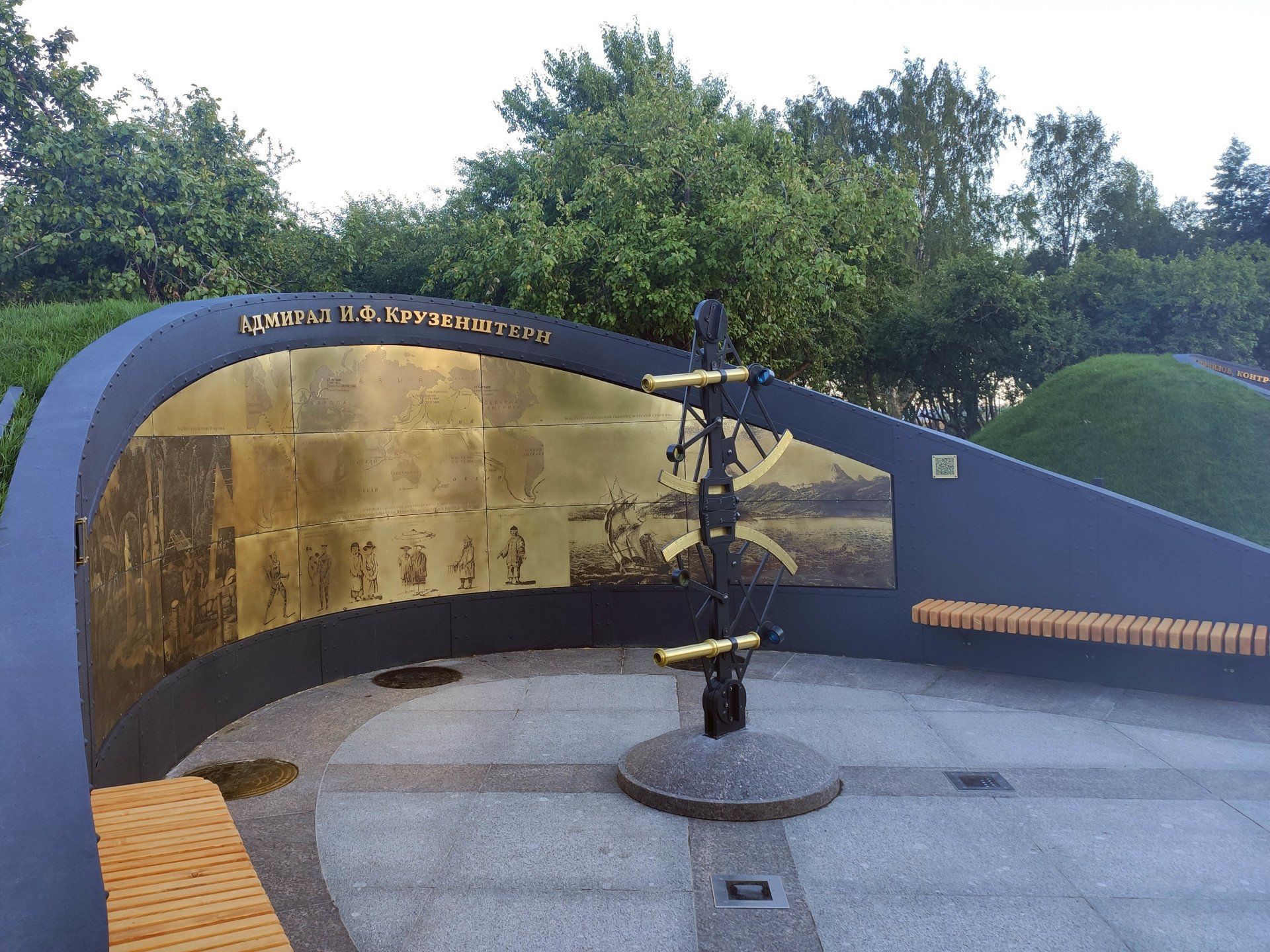
The “Alley of Heroes” will tell visitors about the history of the navy, where more than three centuries of naval history are presented in a “timeline” format through the exploits and achievements of outstanding Russian naval commanders, as well as
"Beacon of Memory", on which the names of 200 heroes of the Russian fleet from the time of Peter I to the present day are immortalized
The park is located at - Tsitadelskoe highway, 14, admission is free, there is a small parking lot, and plenty of space on the surrounding streets.
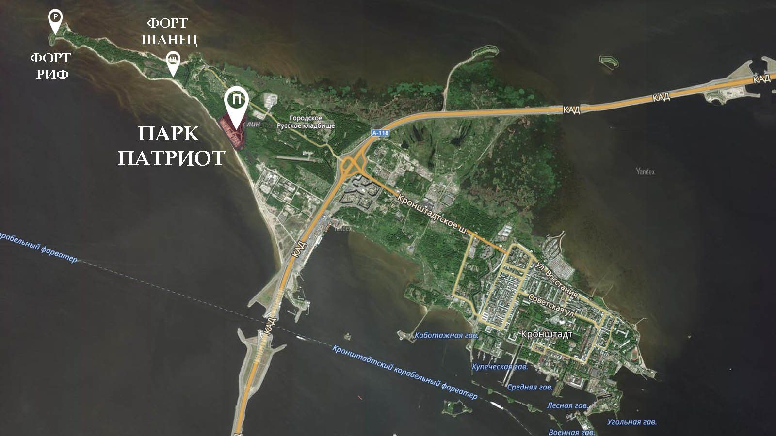
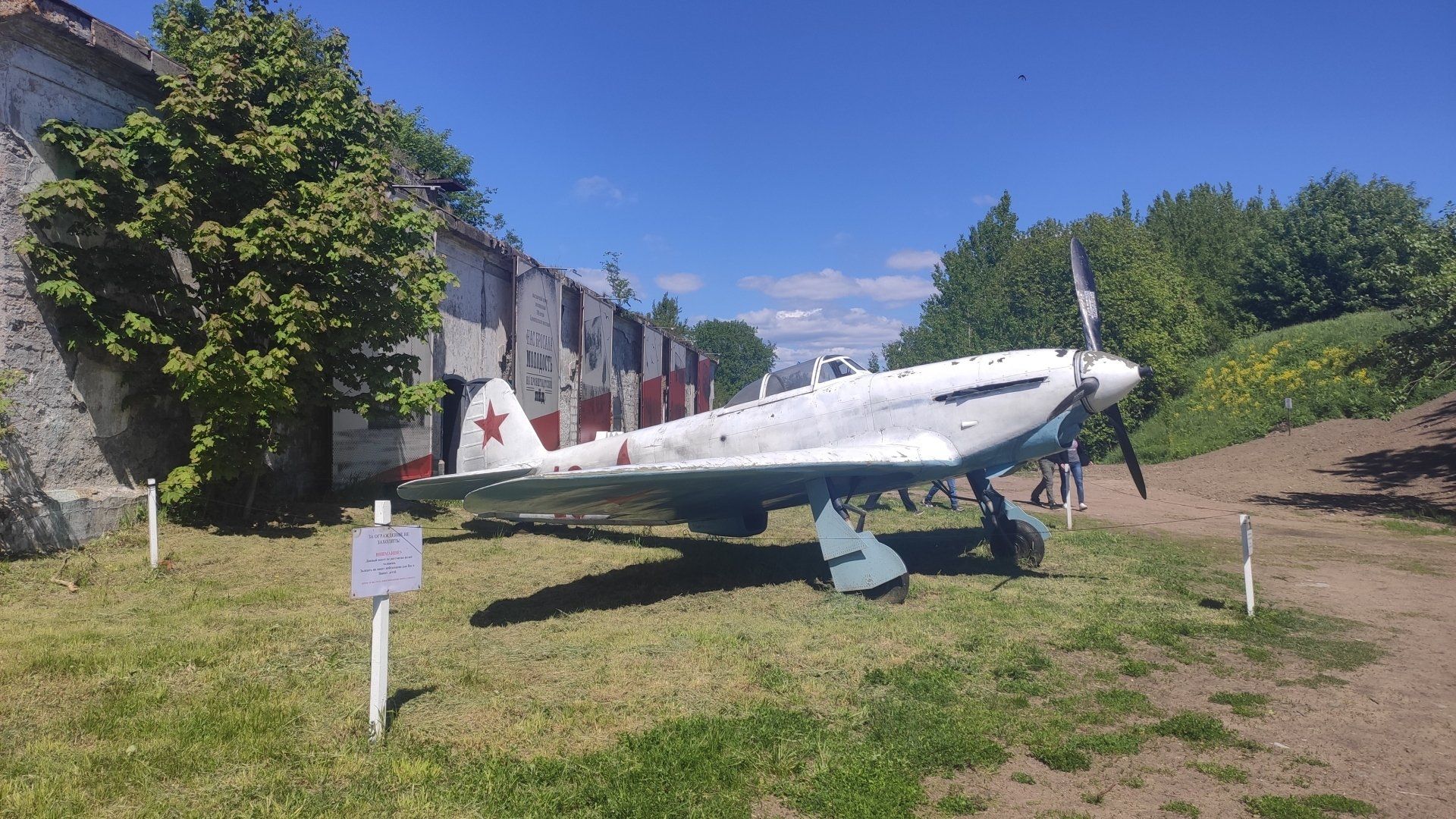
PARK "PATRIOT" IN KRONSTADT
View more
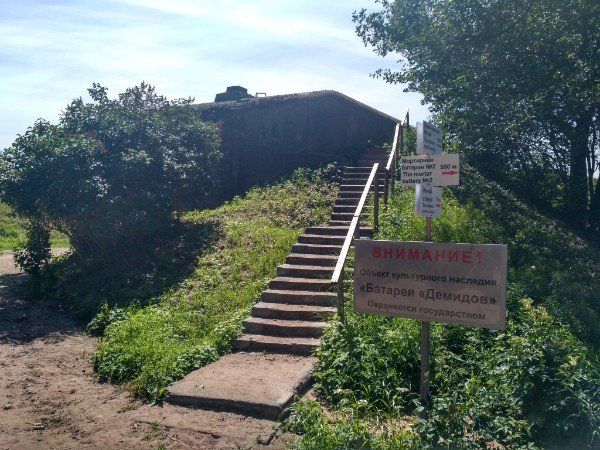
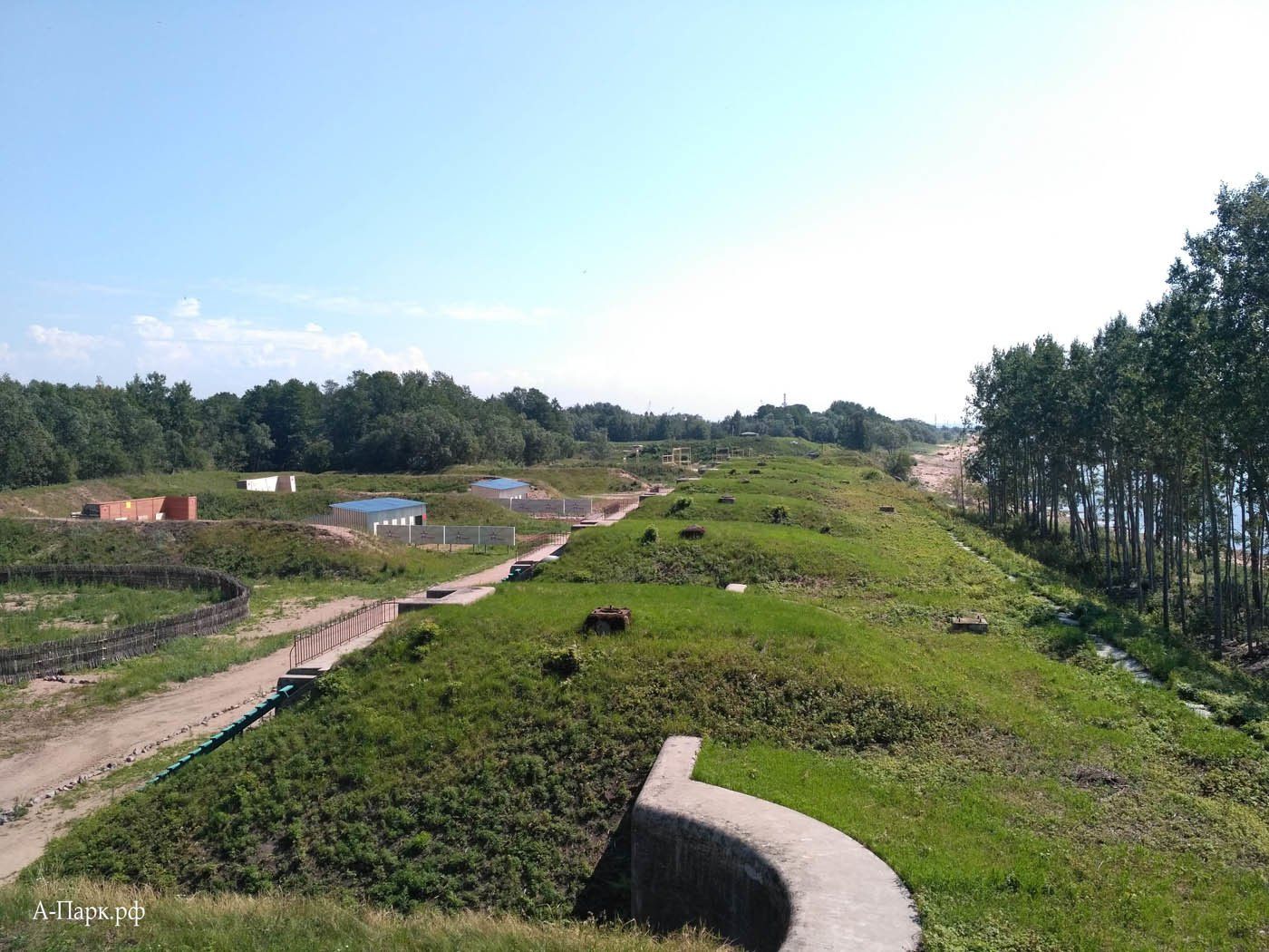
In the spring of 2018, the opening of the first stage in Kronstadt took place unnoticed by the general public.
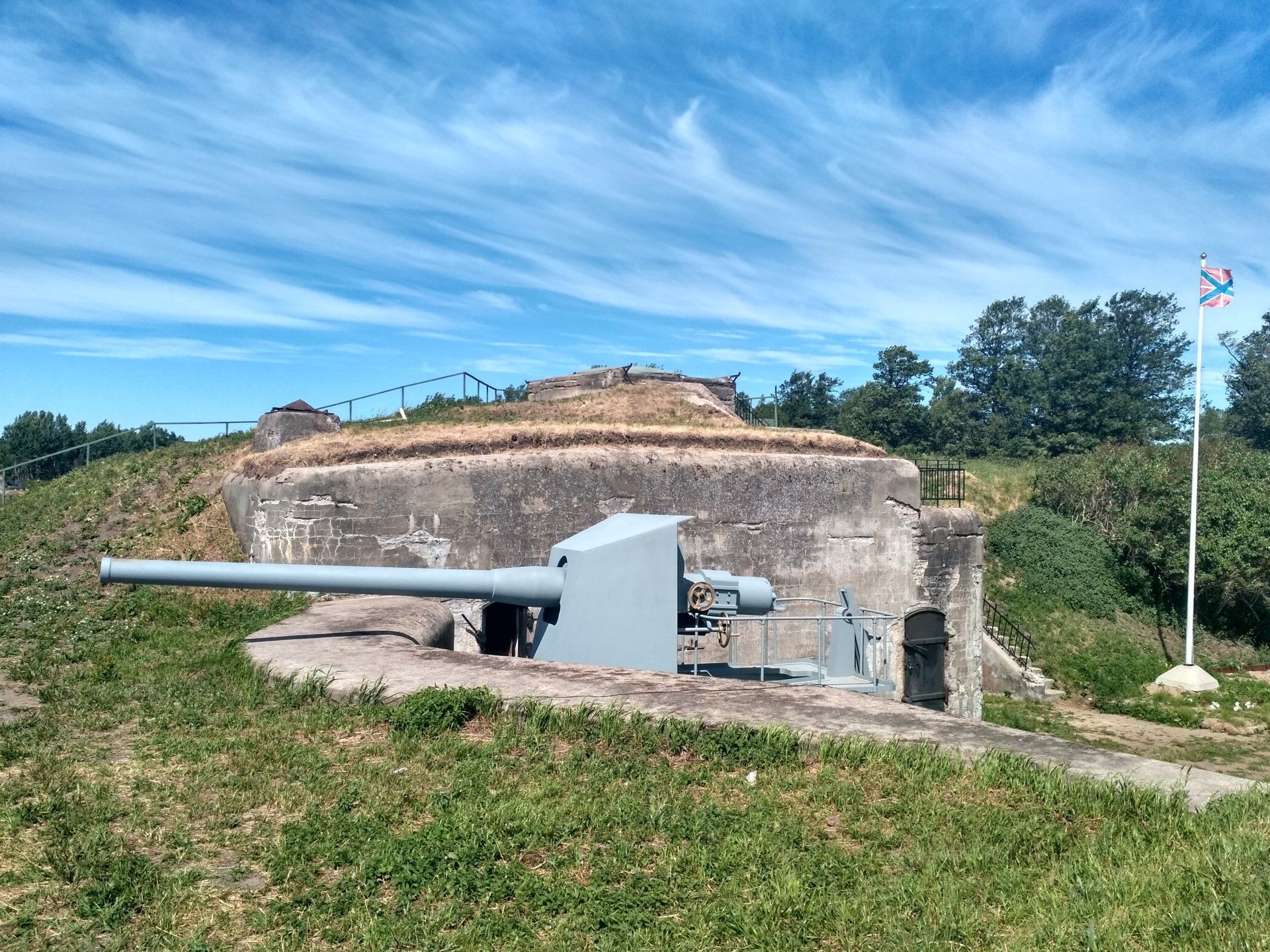
Patriot Park
, which is located on the territory of a recently abandoned artillery"Demidov" batteries
in the western part of Kotlin Island.
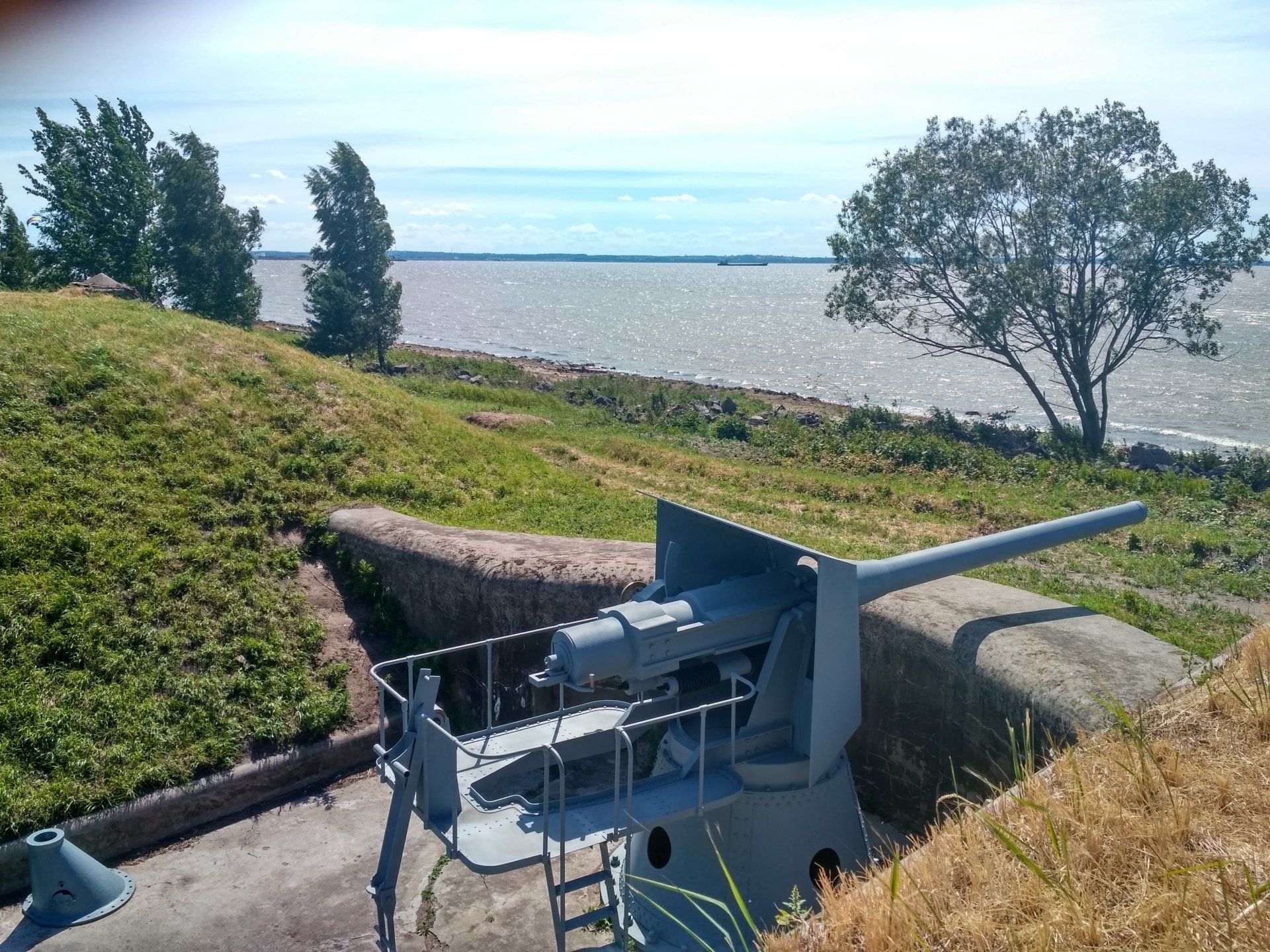
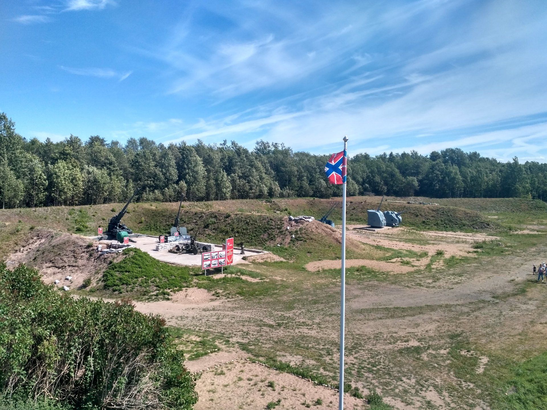
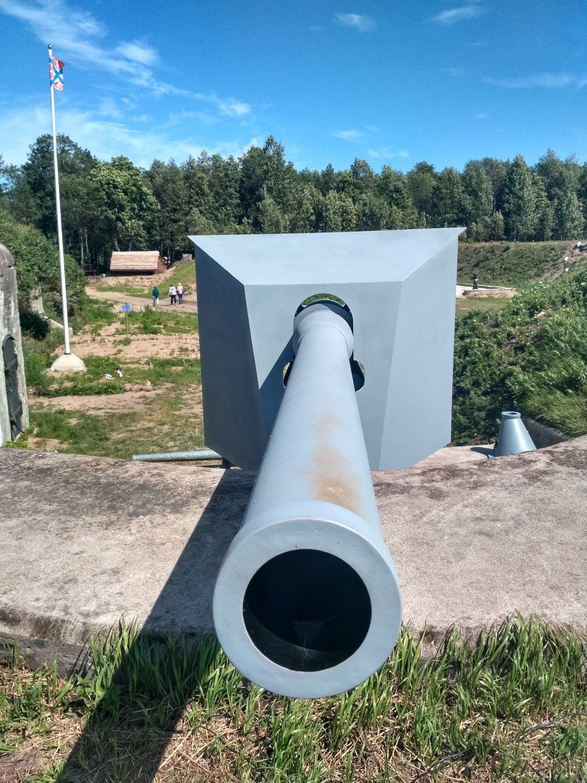
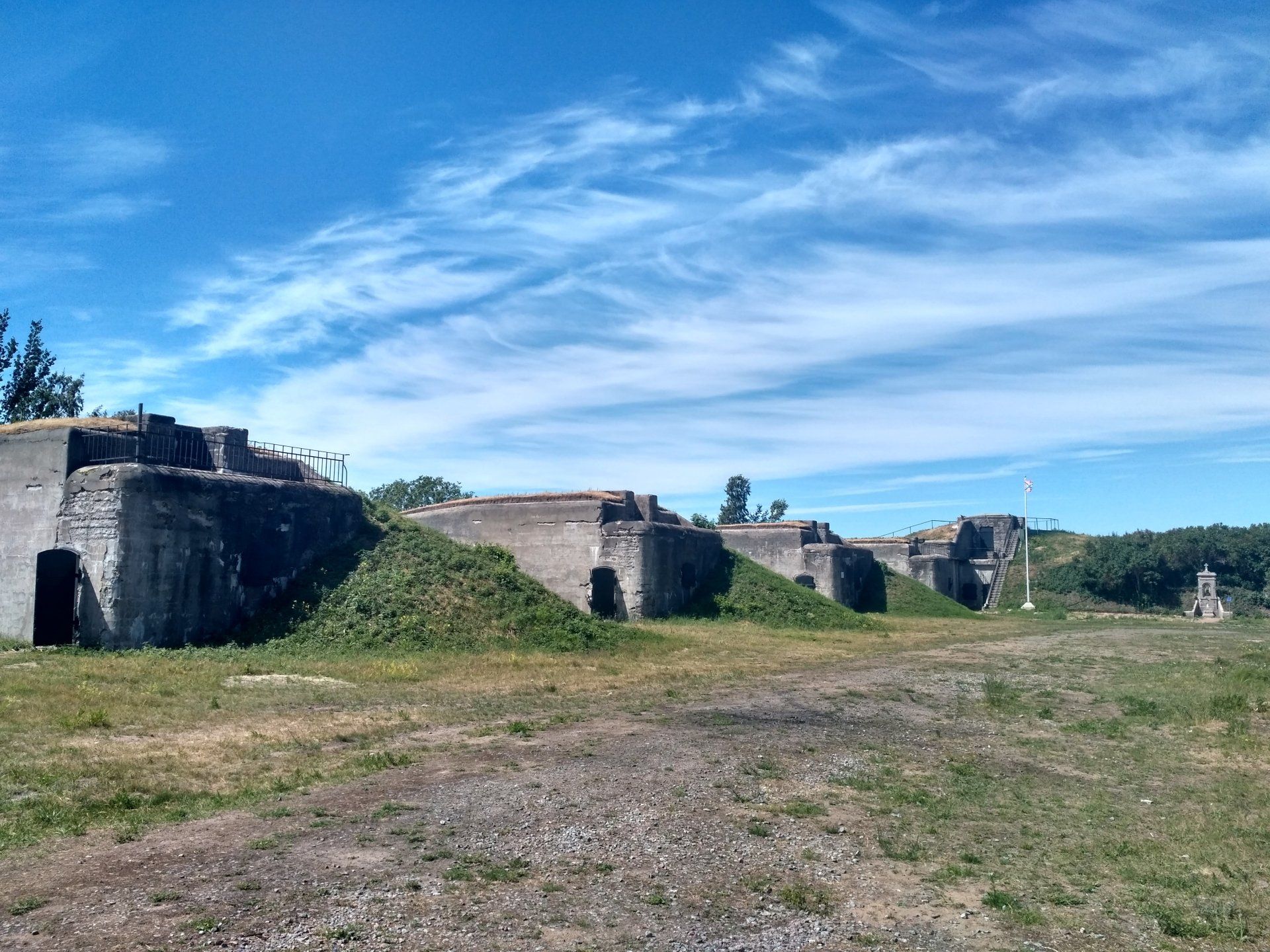
Work on the construction of the park continues at the present time, but the concrete fortifications and battery casemates have already been repaired,
"Partisan Village"
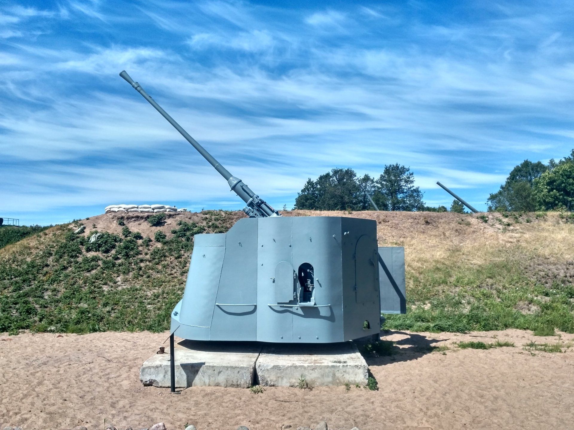
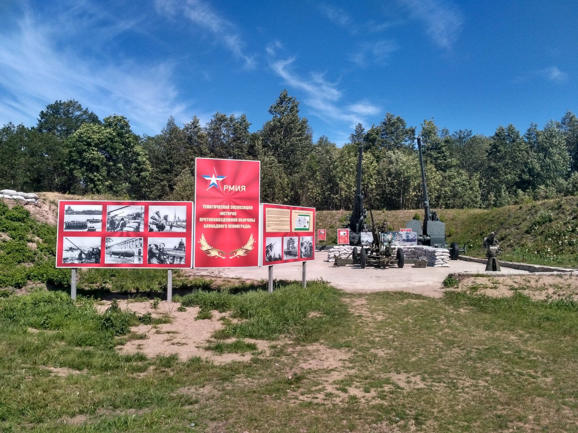
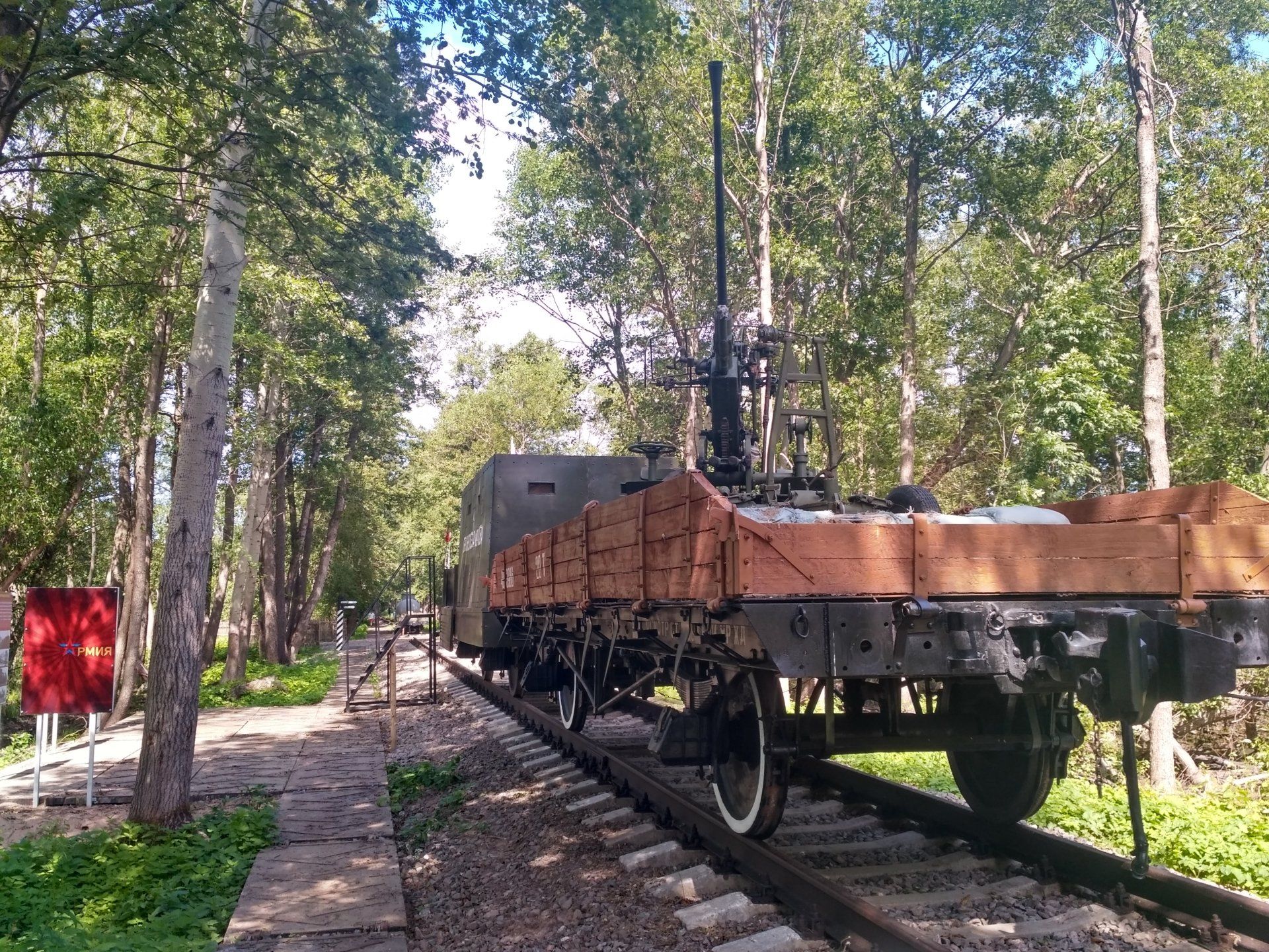
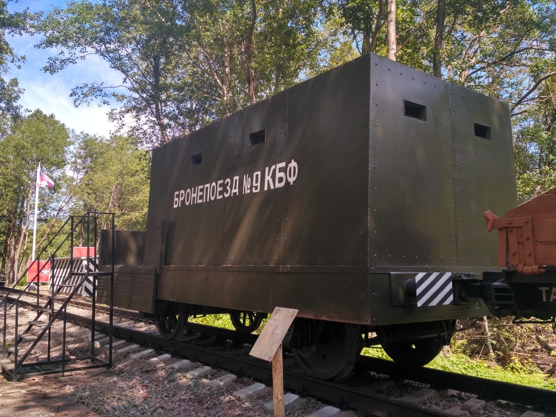
from the Second World War with a bathhouse, a stable, a school for saboteurs and other buildings. Also, a section of the narrow-gauge railway along which ammunition was transported to the batteries has been restored, and samples of coastal artillery of various calibers, anti-aircraft guns and rocket launchers have been installed.
Visiting the park is free
and it's open all day. The battery bastions offer panoramic views of the Gulf of Finland and the dam's protective structures.
Get to Patriot Park from the center of Kronstadt You can take bus No. 2Kr (stop "Gardening") or by car (Kronstadt highway 44B). From the bus stop to the park it is about a kilometer on foot; by car you can drive along a dirt road directly to the entrance. The Patriot Park is still not marked on Yandex maps, the sign at the turn is barely noticeable, but the park undoubtedly exists and is of great interest!
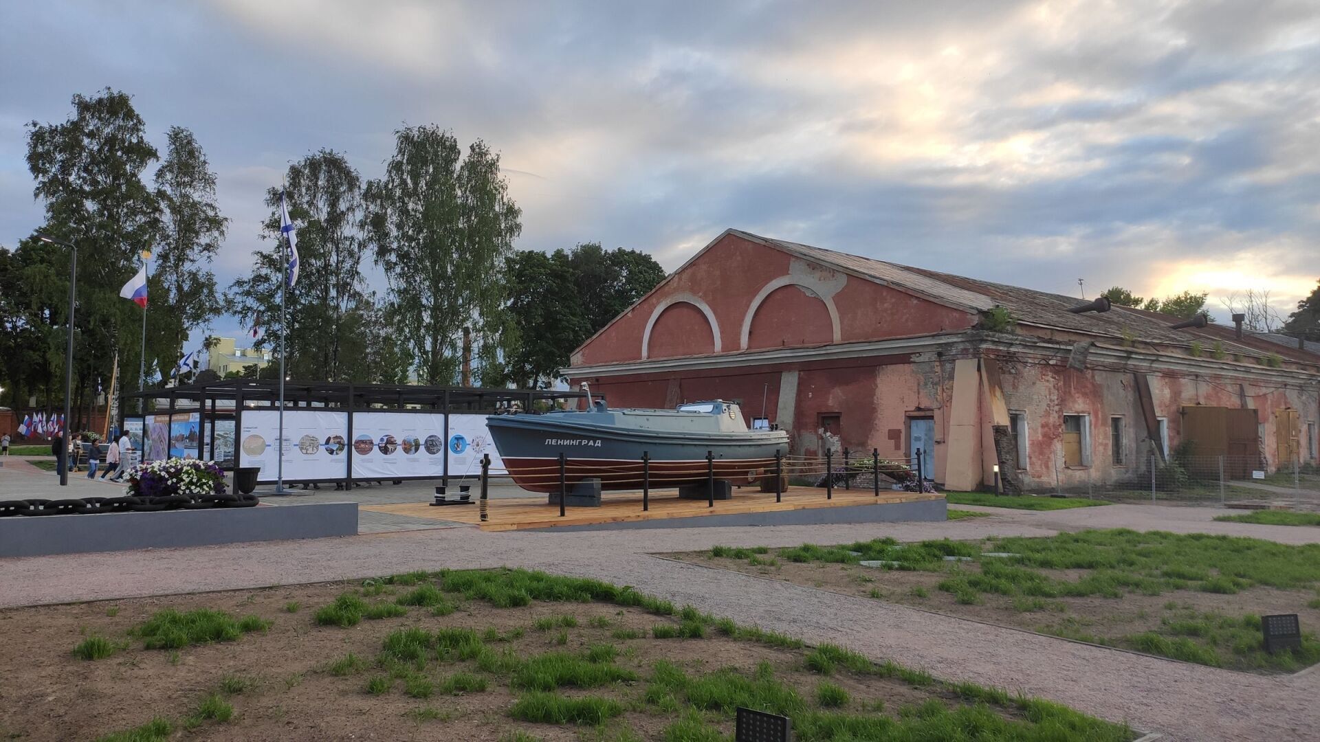
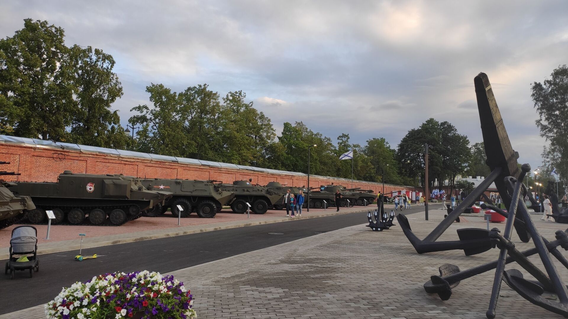
PARK "PATRIOT" IN KRONSTADT (second stage)
View more
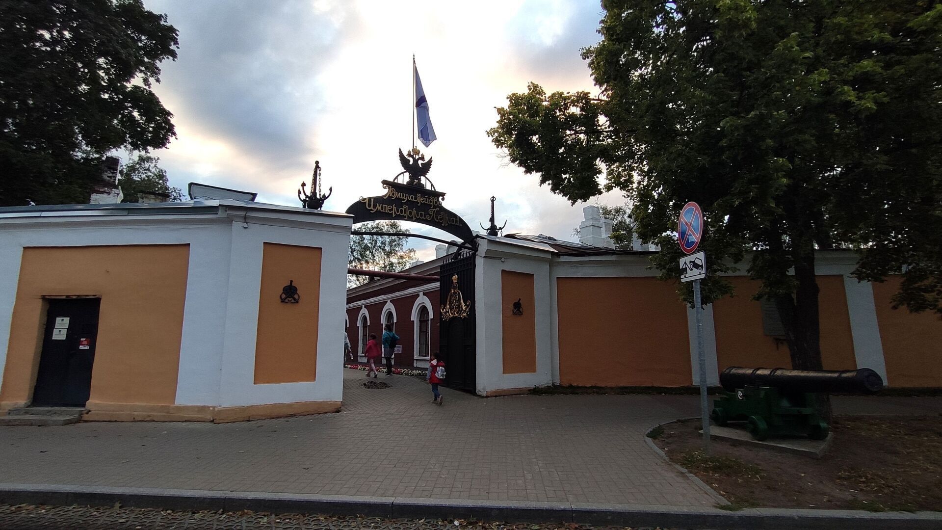
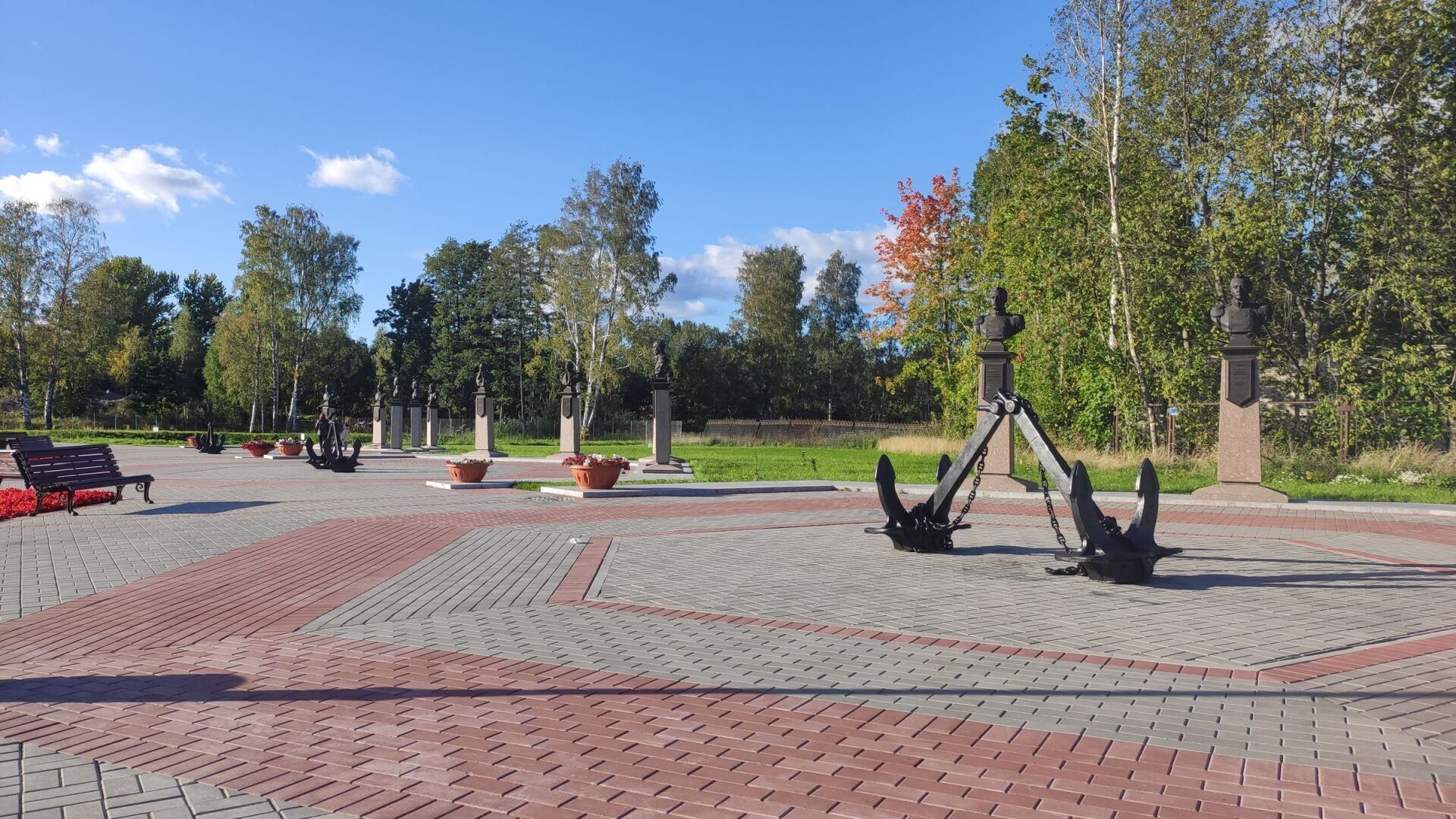
Summer 2021 in the very center of Kronstadt The second phase of Patriot Park opened near Anchor Square. The park is located on the territory of the former Dock Admiralty of Emperor Peter I, which was recently hidden from prying eyes.
The park displays examples of military equipment of the Soviet period, an ancient apple orchard founded back in 1806 has been restored, the Alley of Admirals of the Russian Fleet has been laid out with monuments to 25 outstanding admirals, and the chapel in the name of the Holy Apostles Peter and Paul has been recreated from its foundation.
The main highlight of the park is Observation deck overlooking the monumental structures of the Petrovsky Dock, which previously could only be seen from the air.
Work on the reconstruction of the park is still ongoing, while only a small part of the Admiralty territory is accessible.
Visiting the park is free, there is a small cafe.
Opening hours: from 10-00 to 22-00.
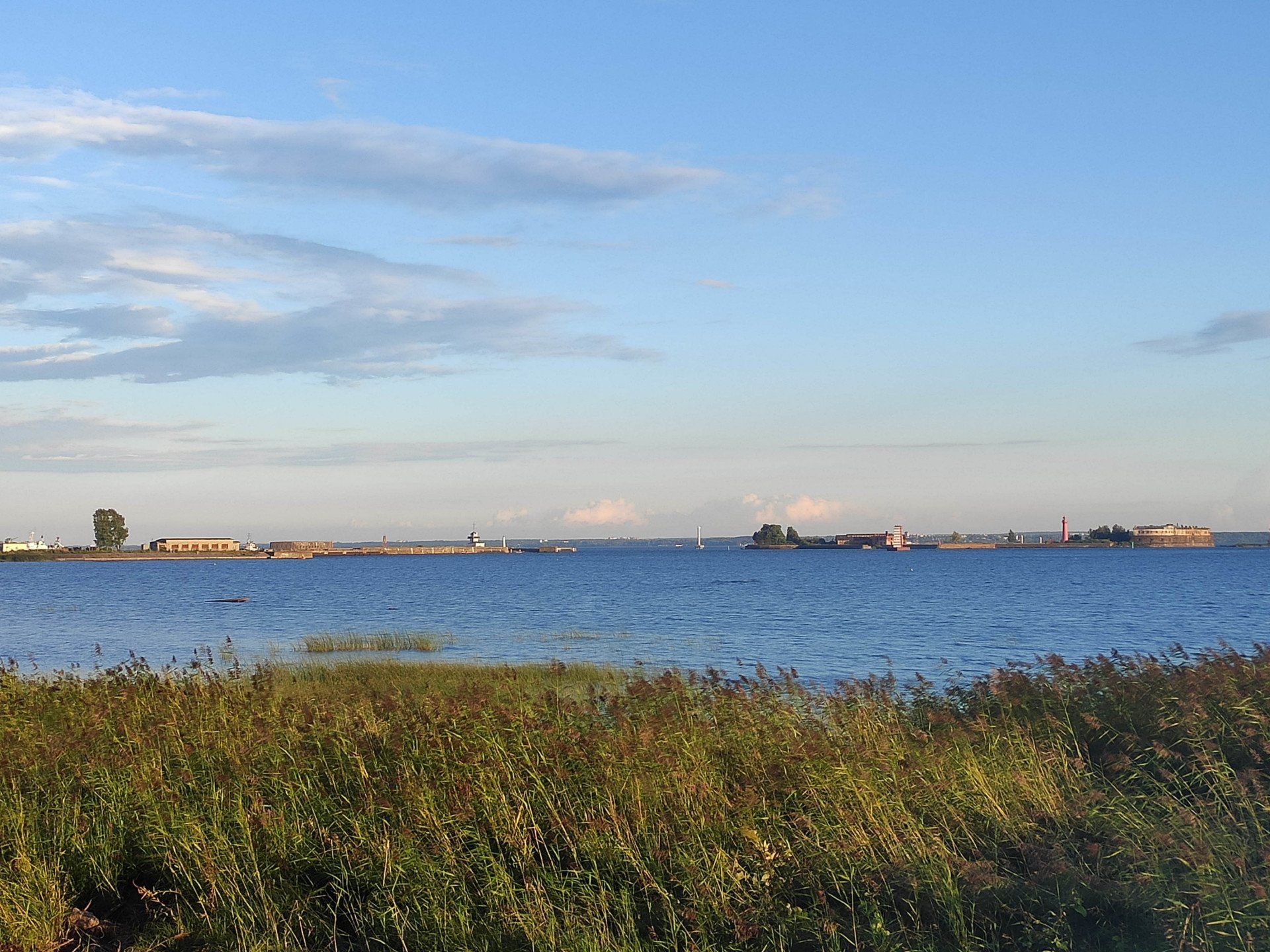
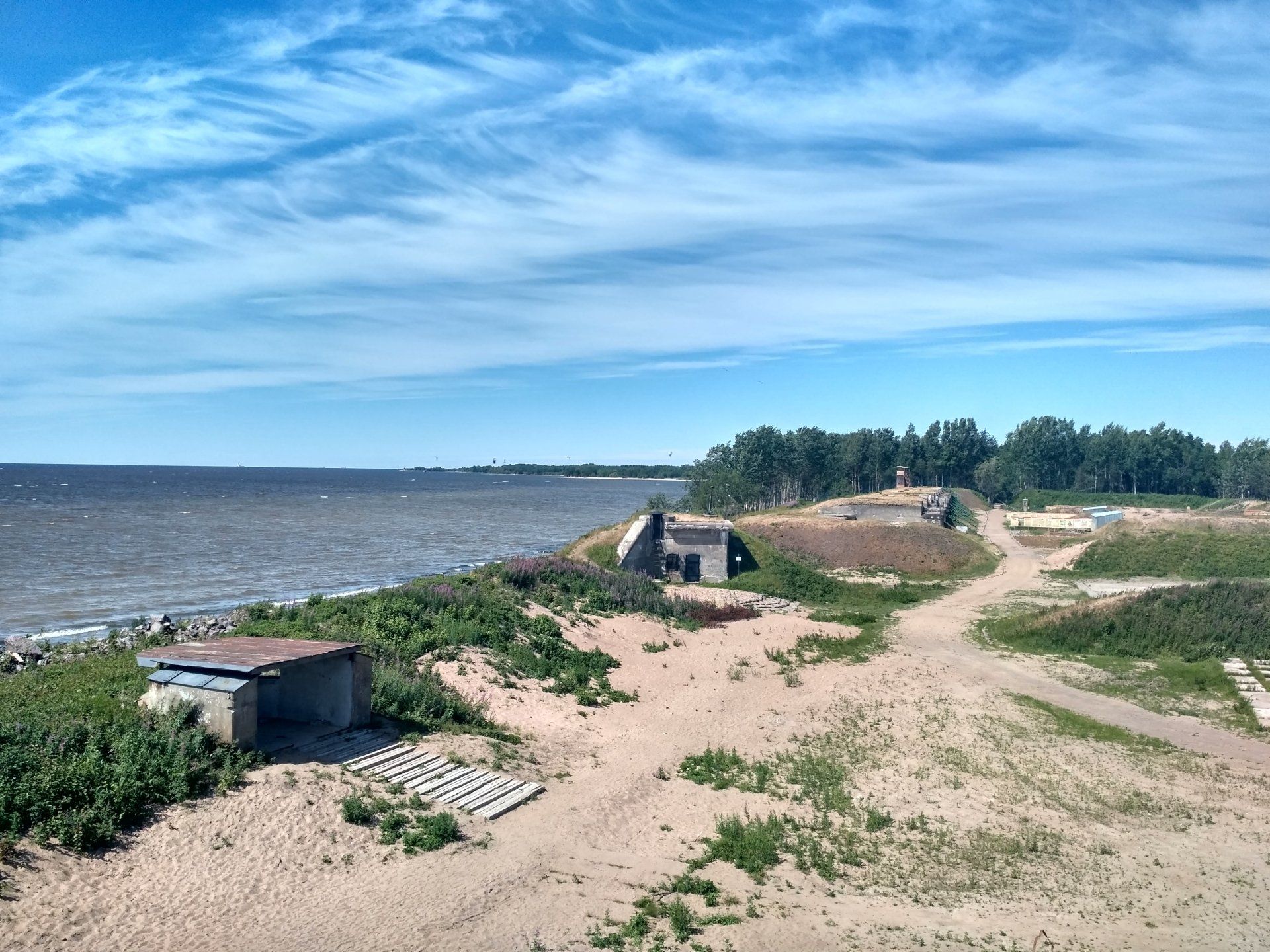
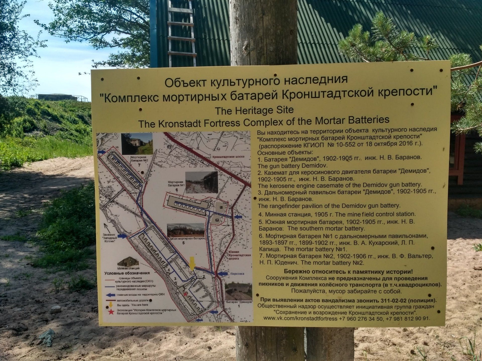
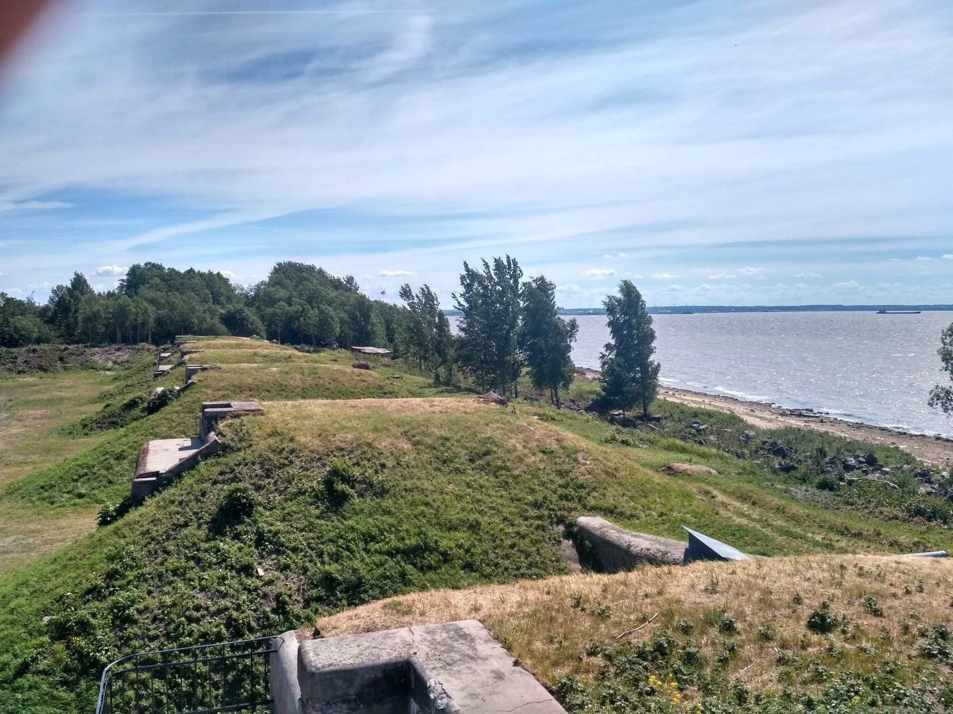
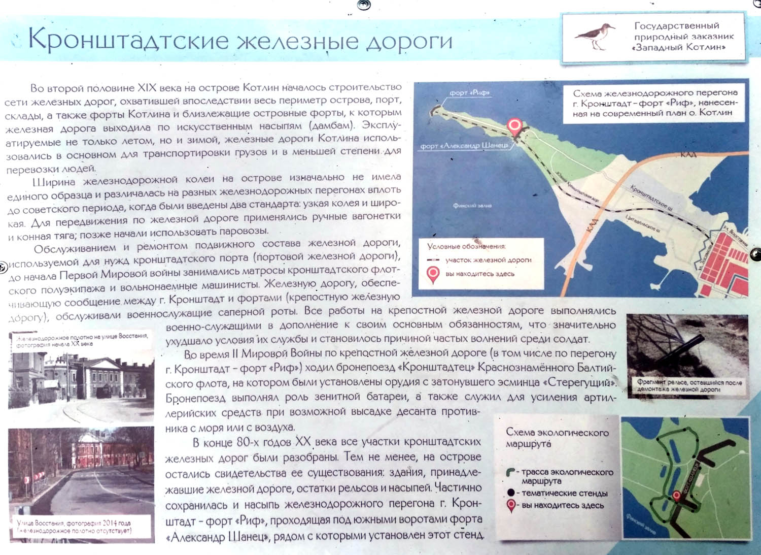
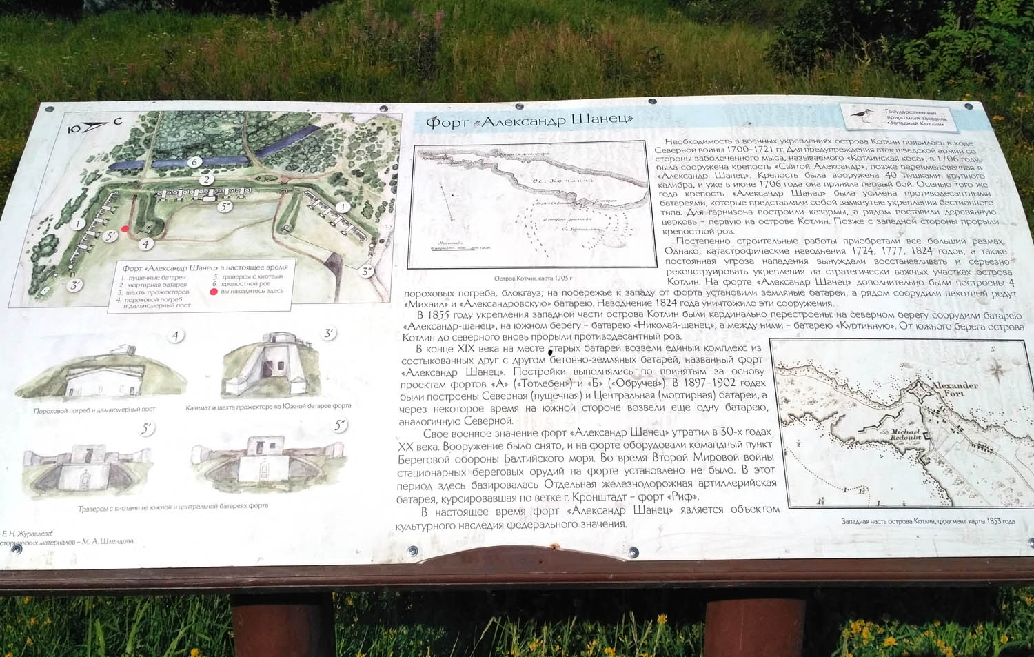
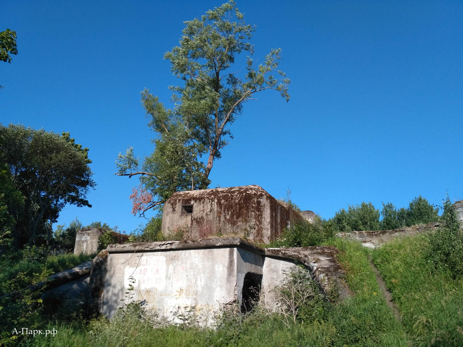
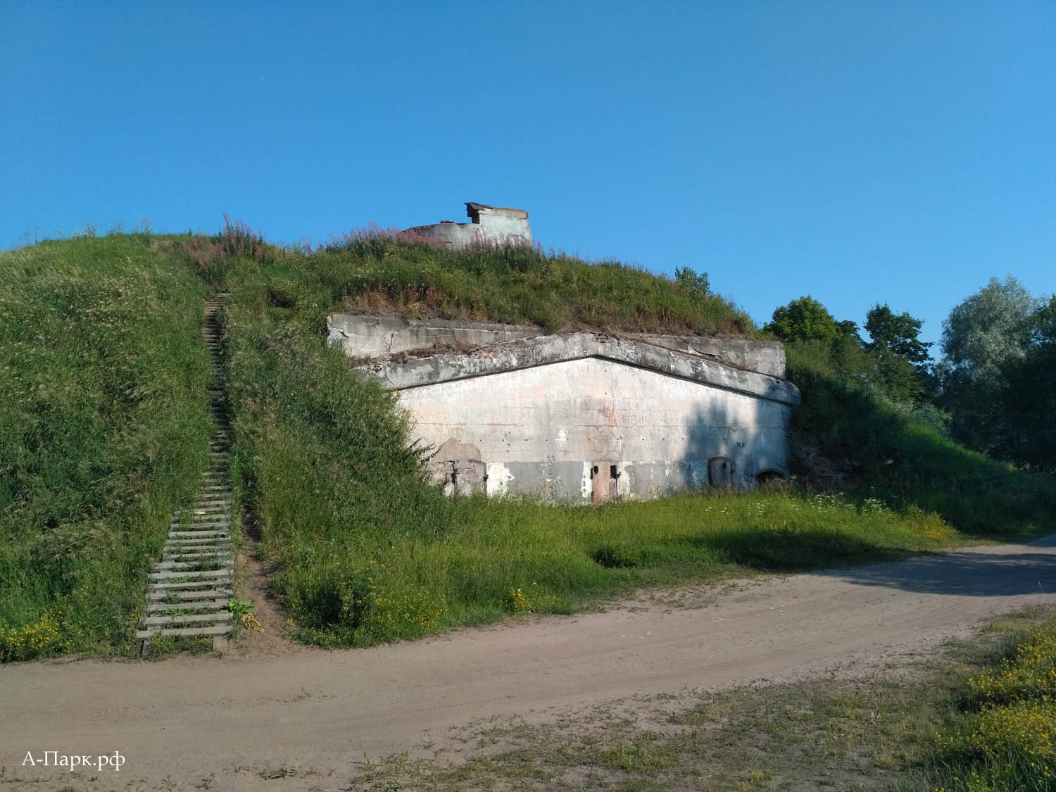
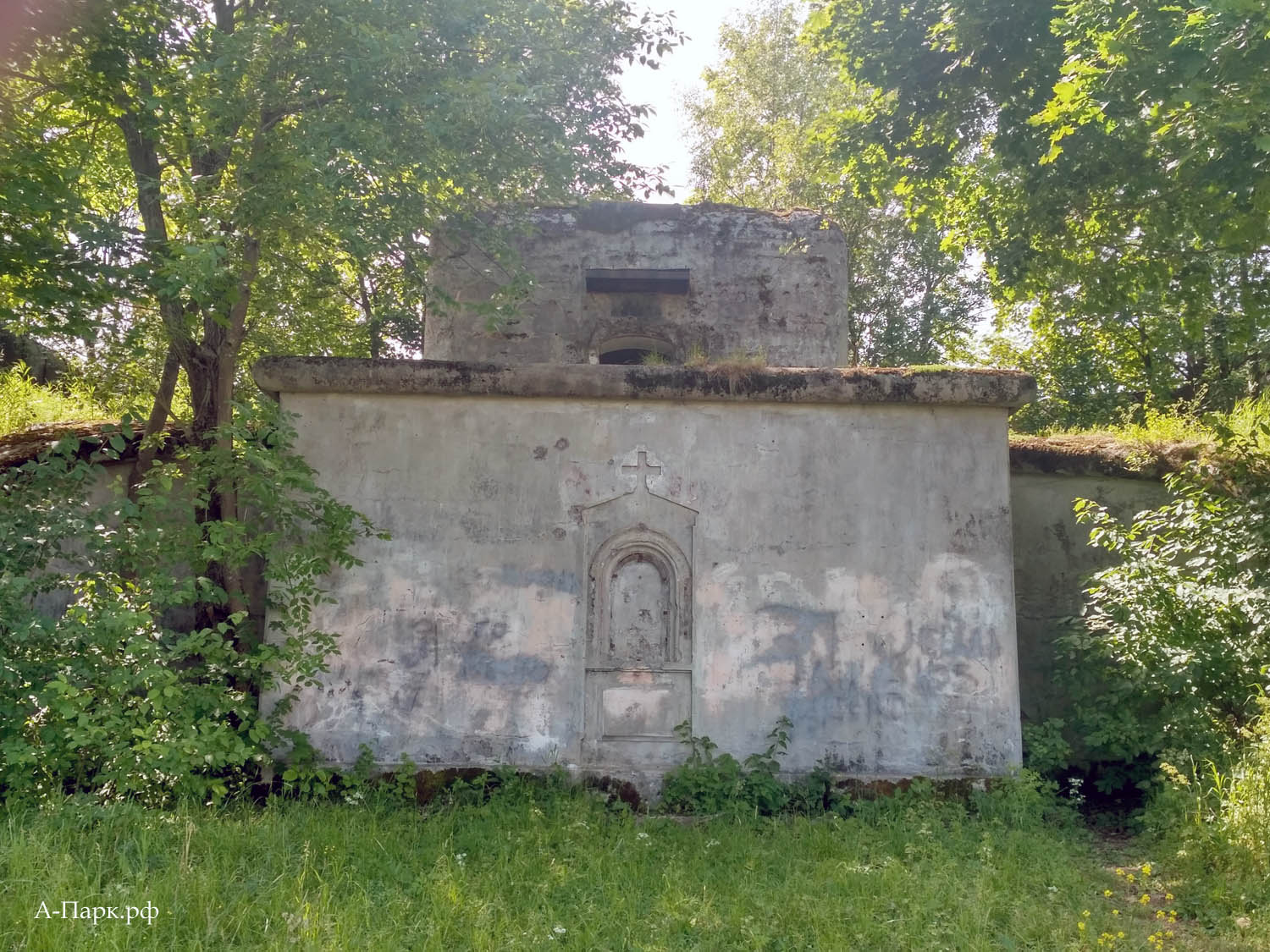
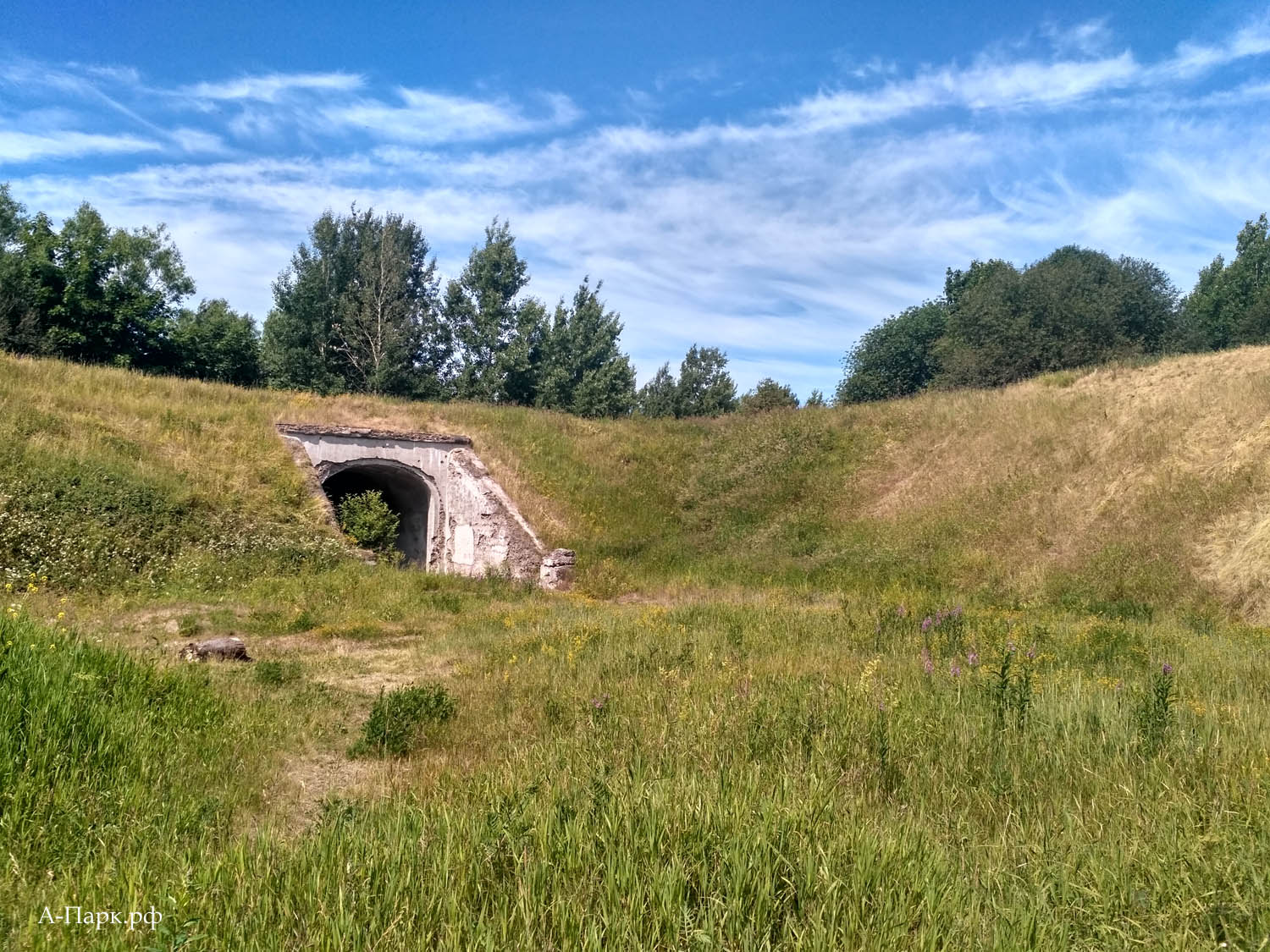
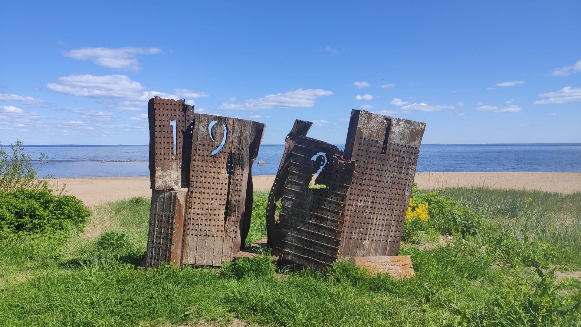
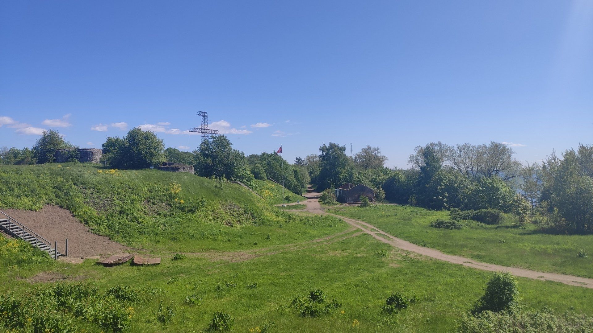
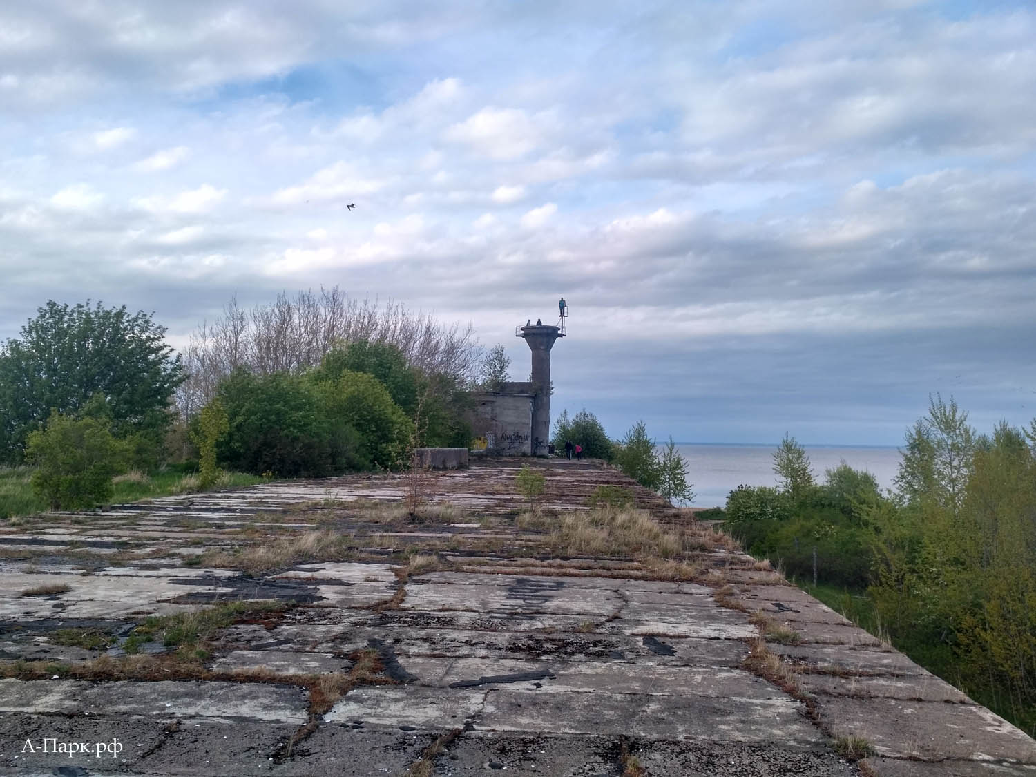
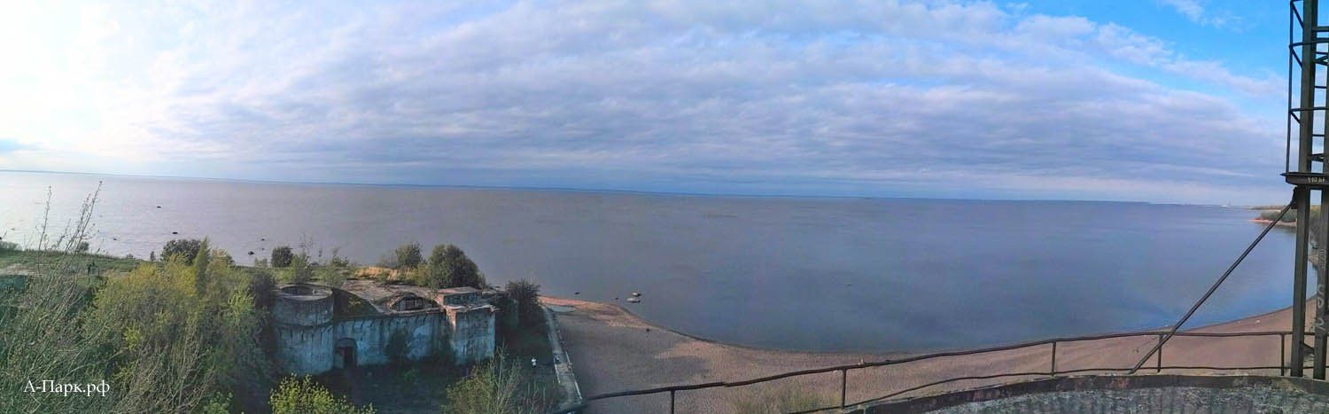
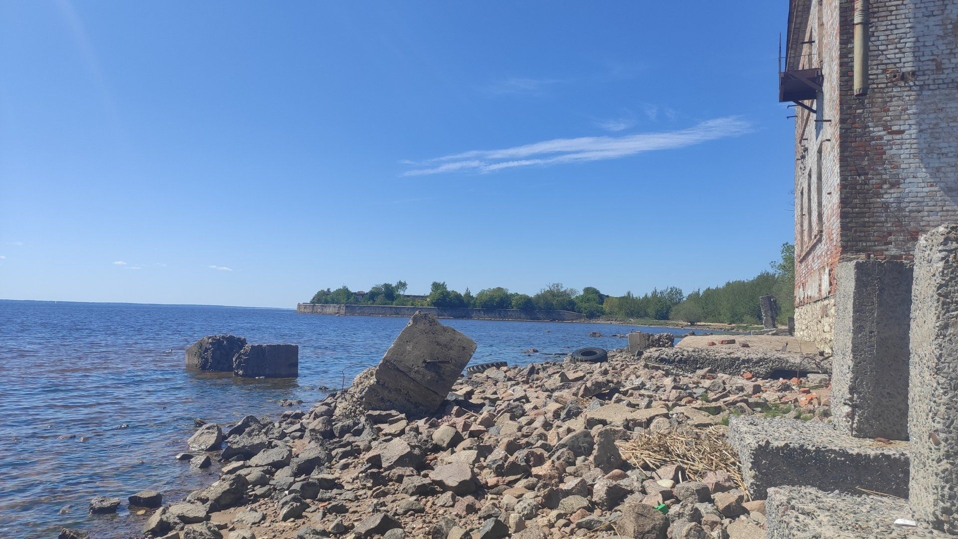
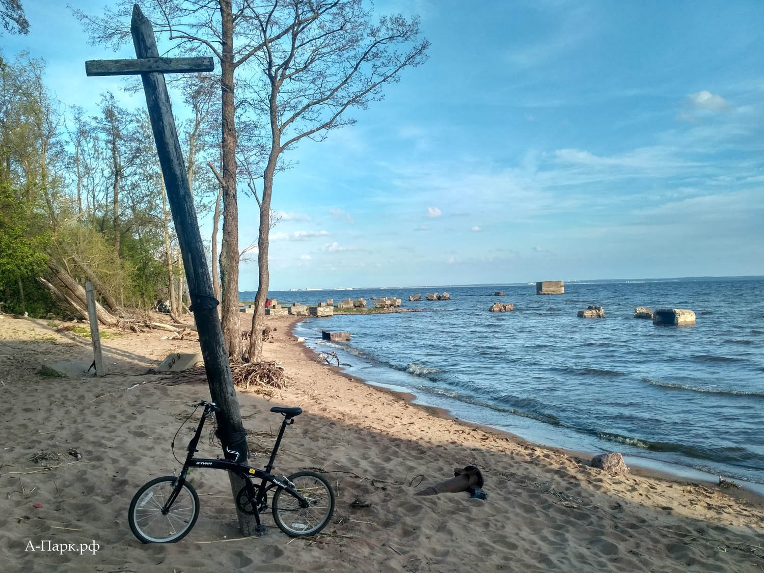
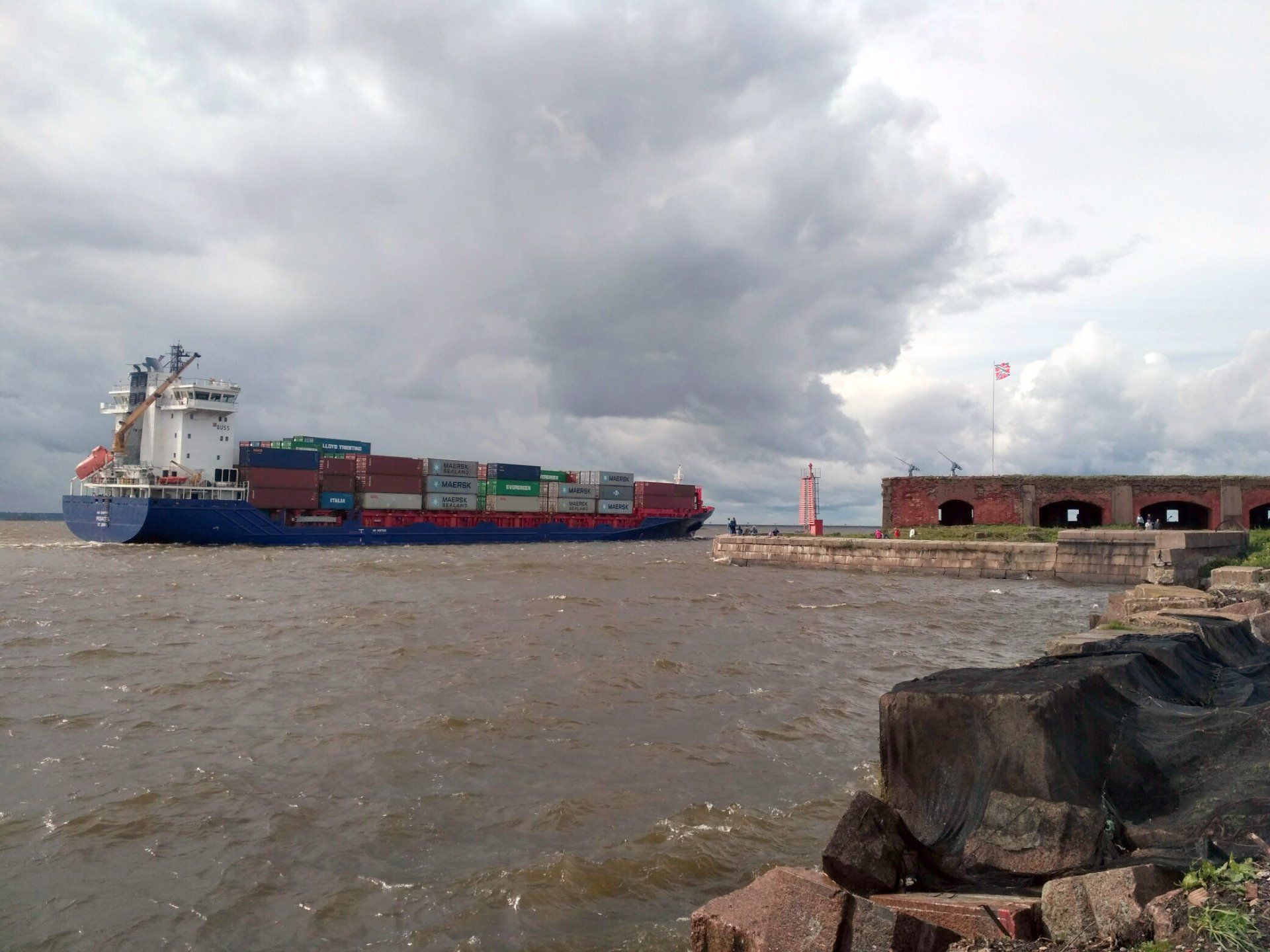
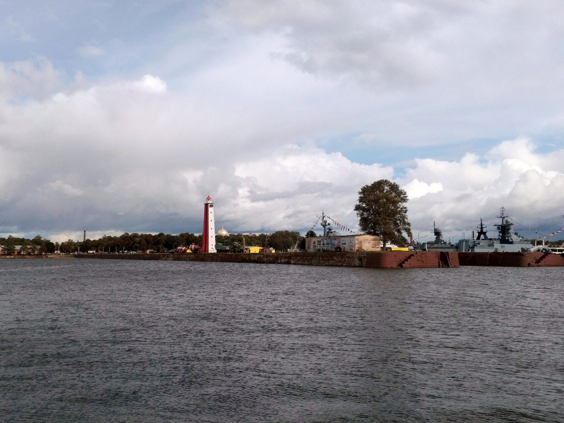
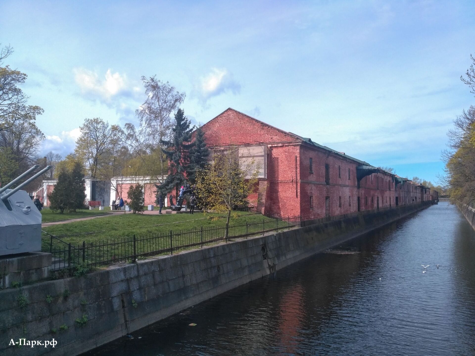
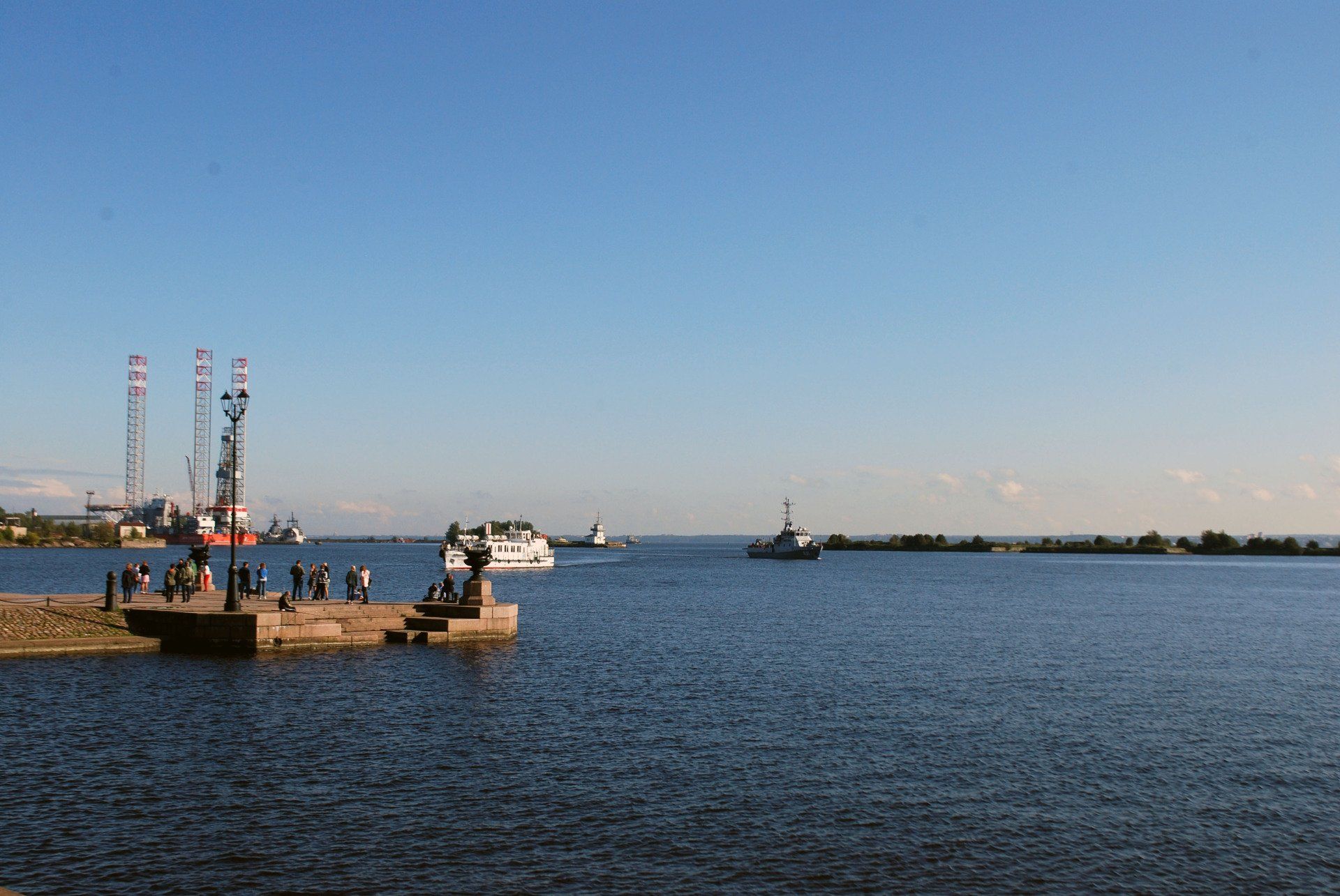
RESERVE "WESTERN KOTLIN". FORT "SHANETS"

View more
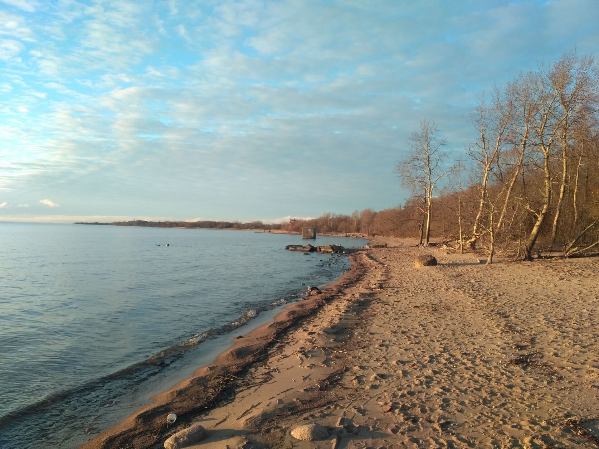
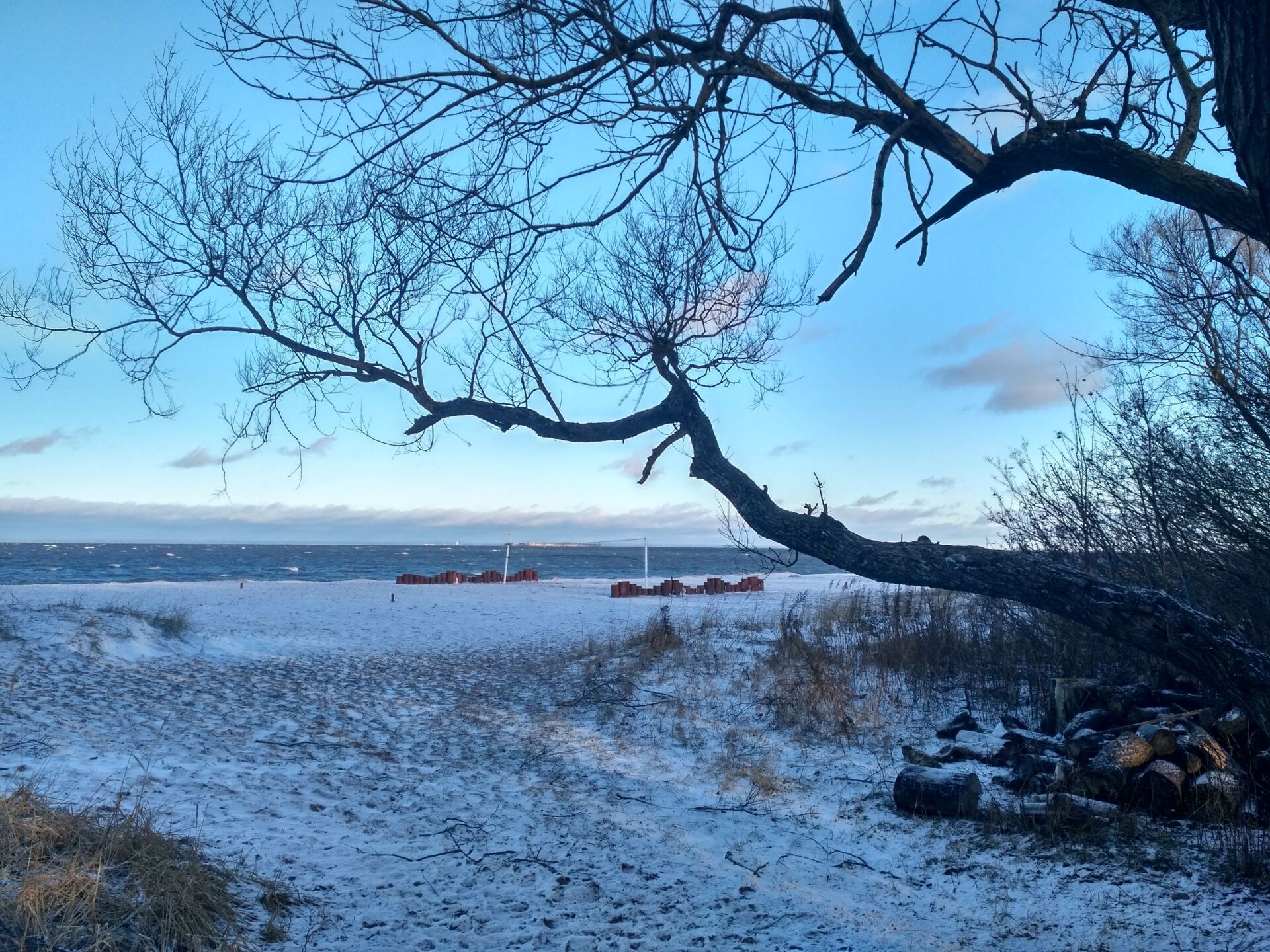
On a spit that protrudes far into the sea on the northwestern side of Kotlin Island, there is a nature reserve organized in 2011"Western Kotlin". This is one of the most striking attractions of Kronstadt, but organized tourists are usually not brought here. On both sides of the spit there are wonderful sandy beaches, reminiscent of the Curonian Spit of the Kaliningrad region.
Since 1706, Kronstadt’s defensive structures were built and rebuilt here, which more than once saved the city from enemy squadrons. At the end of the 19th century, on the site of the old batteries, a single complex of concrete-earth batteries was erected, which received the common name fort
"Alexander-Shanets".
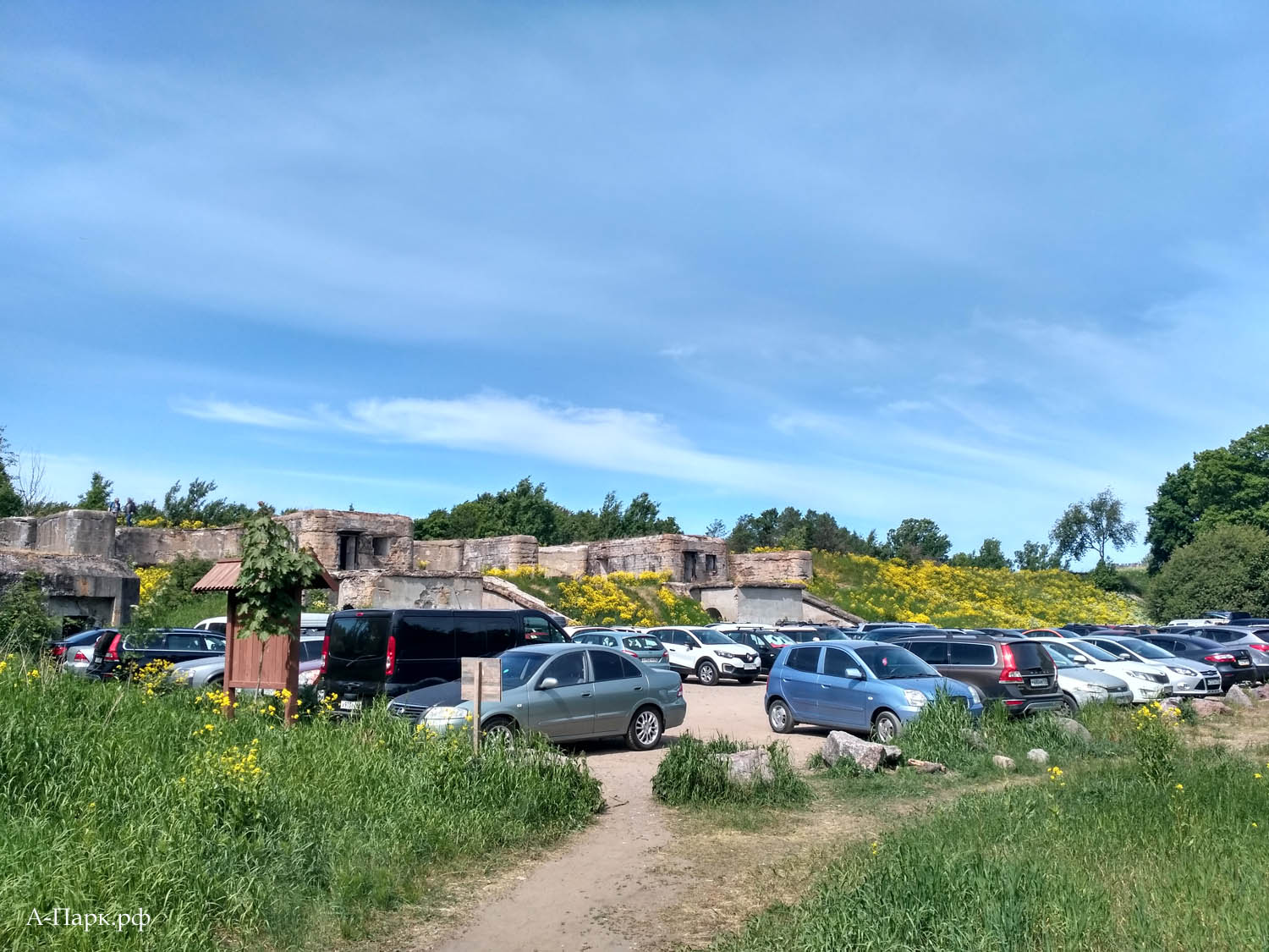
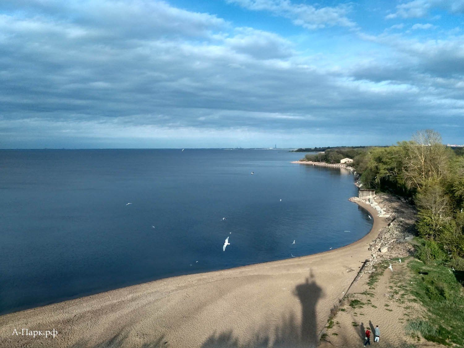
FORT "REEF"

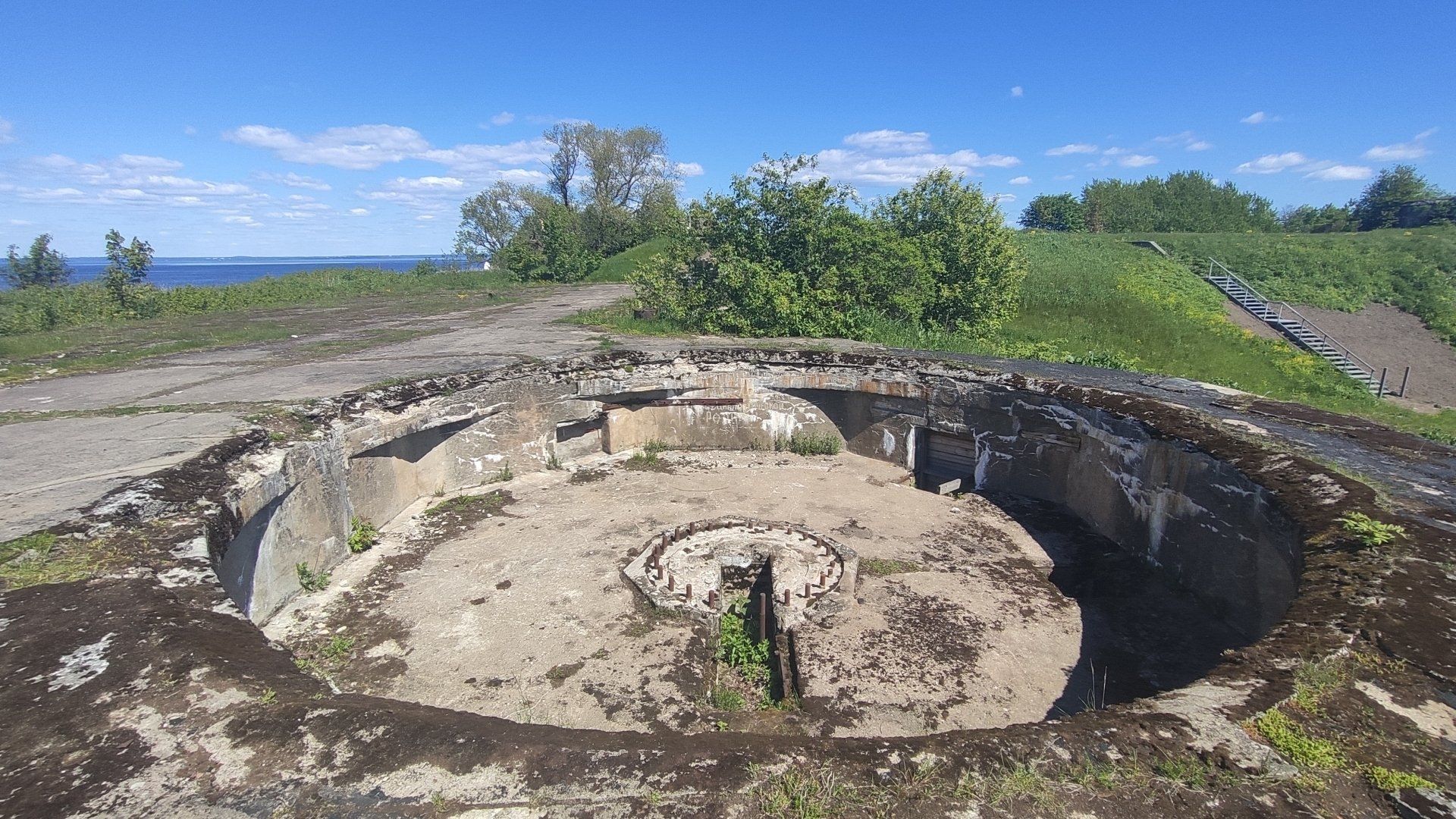
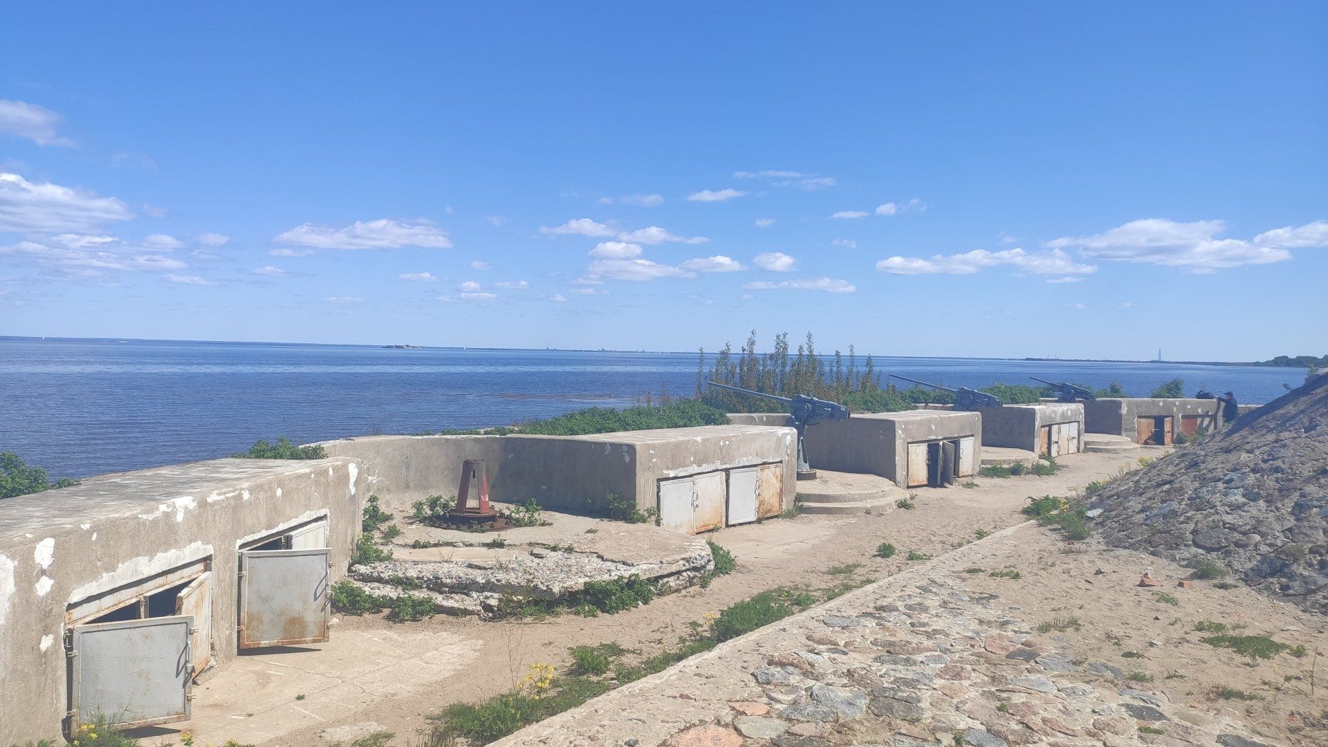
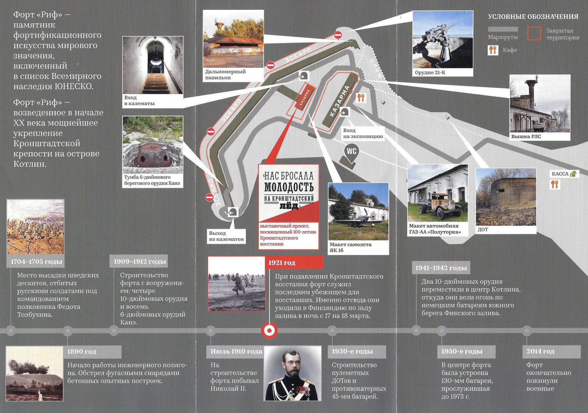
View more
At the western end of the spit there is one of the best preserved forts of Kronstadt -
Fort "Reef" ,
After the departure of the military unit, it remained in a deplorable state for a long time. In 2017, the fort was rented by private individuals and is gradually being restored. Currently, Fort "Reef" is open to the public - the entrance fee to the territory is
150 rubles, full ticket with visits to all casemates and exhibitions - 350 rubles. There is a toilet and a small cafe on the territory of the fort, and excursions are available.
You can get to Fort "Reef" from the center of Kronstadt by bus No. 2Kr (Fort Shants stop) or by car to the parking lot at Fort Shantz. From the parking lot to the Reef fort it is about 2 kilometers on foot through the Western Kotlin nature reserve.
WHERE TO EAT INEXPENSIVELY IN KRONSTADT

Very close to the Naval Cathedral and Yakornaya Square there is a cozy family cafe-confectionery "Briosh" (Sovetskaya St., 33B, entrance from Roshal St.). In order to have an inexpensive and quick snack in Kronstadt, there is no better place to find. This cafe brews delicious cappuccino, and the assortment of pastries, cakes and homemade drinks makes your eyes wide open.
POPULAR EXCURSIONS TO KRONSTADT FOR 2023
VIDEO TOUR OF KRONSTADT

PHOTOS OF KRONSTADT


You can see more photos of Kronstadt sights
Here.

